Colorado's biggest storms can happen anytime, new study finds
Storms show a "diverse seasonality" – following seasonal patterns in some regions, but not others
In a state known for its dramatic weather and climate, Colorado's history of extreme precipitation varies considerably by season and location, according to research published in the current issue of the Journal of Hydrometeorology. Decision makers—often facing increased pressure to consider climate change information—typically turn to historical averages to understand when and where extreme rain, hail and snow happen in this state. But those averages often are not reliable, because they're based on observations of events that don't happen frequently and because the observations themselves are limited, especially in remote areas.
This research set out to improve understanding of the state's extreme event climatology, because “even in regions where you think you have a strong seasonal signal, the data actually show heavy precipitation events happening outside of the expected time, especially in the central mountains of Colorado,” says Kelly Mahoney, a CIRES scientist working at ESRL's Physical Sciences Laboratory, and lead author of the new study, which also includes researchers from Scripps Institution of Oceanography at UC San Diego, Colorado State University and the U.S. Geological Survey.
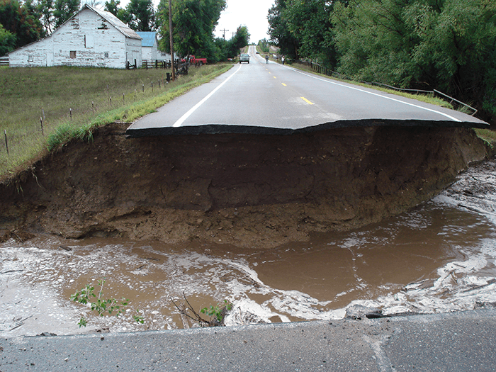
The September 2013 Colorado Front Range floods are evidence that big storms can happen out of season and don't necessarily obey expected norms. That widespread flooding across northeast Colorado—when the city of Boulder saw just over 17 inches of rain in one week, close to the city's typical total for the entire year—was unusual in that it happened more than one month after the state's typical monsoon peak. Though unusual, the floods weren't unprecedented.
“Because fall is drier on average, the assumption was that we don't tend to see big precipitation events in the fall. But once these storms happened, people looked back and found other big storms in September, so it's not that surprising after all,” says Mahoney. Although daily rainfall events in Colorado aren't as high in September, lots of moisture can still reach the state from both the Gulf of Mexico (because the Atlantic hurricane season is at its peak) and from the Pacific Ocean. According to Mahoney, having a better understanding of the pattern that resulted in the 2013 floods, regardless of the season, could help scientists better anticipate the likelihood of future similar events.
The precipitation data used in this study came from Cooperative Observer Program (COOP) sites across Colorado. Run by the National Weather Service, COOP relies on volunteers to record daily temperature and precipitation data at sites throughout the United States. The researchers selected precipitation data from the 130 COOP stations throughout Colorado that had a record of at least 30 years of daily data between 1950 and 2010. At each station, the 10 largest daily rain totals were identified and used to characterize Colorado's extreme precipitation by season.
The researchers found that the largest recorded daily precipitation totals in Colorado vary widely, from about two inches (60 mm) per day in some areas to more than four times that, or about 10 inches (250 mm) per day, in other parts of the state. In general, the heaviest storms tend to happen east of the Continental Divide and in southwestern Colorado, but the seasonality of these big storms isn't quite so simple.
Across the state, there's a striking difference when it comes to which seasons see the biggest storms. East of the Continental Divide, most of the largest storms happen in spring, including along Colorado's Front Range. Farther east still, across the state's lower-elevation eastern plains, bigger storms are more common in summer. And west of the Continental Divide, at lower elevations, most of the biggest storms happen in fall.
In Colorado's central mountains, along the spine of the Continental Divide, there's no clear pattern. The common belief—based on those historical averages—is that winter storms at the state's highest elevations produce big snow events. That's not what the researchers found, however. Instead, high-elevation intense precipitation events have occurred in all months of the year, including summer, when that precipitation is more likely to be rain and therefore more of a flood risk.
What's the take-home message? It's that Colorado's extreme precipitation can occur in any season and at all elevations across the state. “Trying to assign extreme events to a certain season is not necessarily a good thing to do, especially here in Colorado,” says Mahoney. Particularly in the central mountains of Colorado, very big storms can happen during any season and it's important for decision makers to understand that impacts such as flooding are a nearly year-round risk across the state. According to Mahoney, “we need to look at the critical ingredients that come together to produce an extreme event, because that can happen at any time during the year.”
Posted: May 20, 2015