|
|
||||||||||||||||||
| Instrument Name | Project Name | Install Date | Data Types |
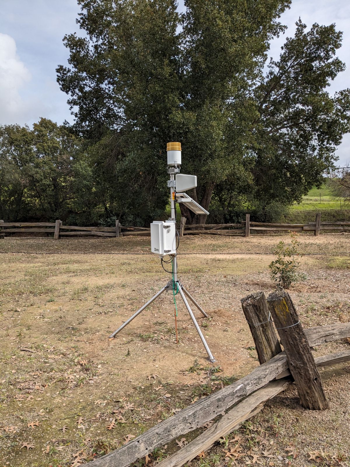
| Datalogger CR300 | Study of Precipitation, the Lower Atmosphere and Surface for Hydrometeorology | 2024-03-12 | view |
| Tipping Bucket TE525 | Study of Precipitation, the Lower Atmosphere and Surface for Hydrometeorology | 2024-03-12 | view |
| Instrument Name | Project Name | Install Date | Removal Date | Data Types | No inactive instruments exist |
| OutageID | SiteID | Failure Type | Start Date | End Date | Description | Resolution Description | No site outages exist |
