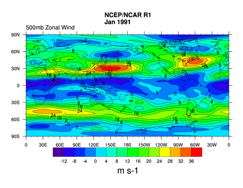
 Map Mean | 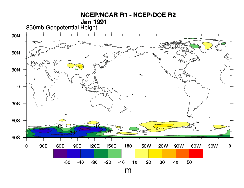 Map Mean Differ |  Map Mean |
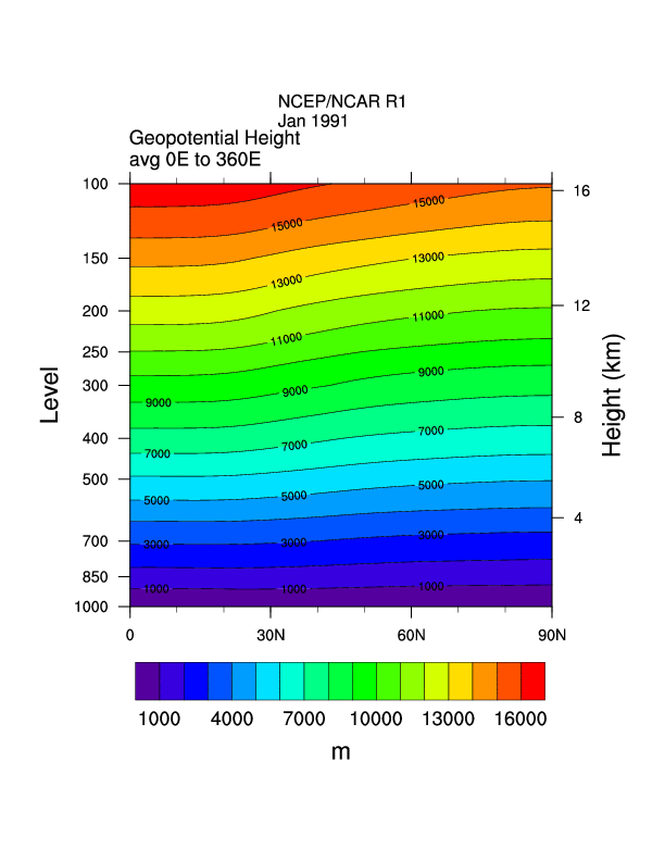 Height/lat mean | 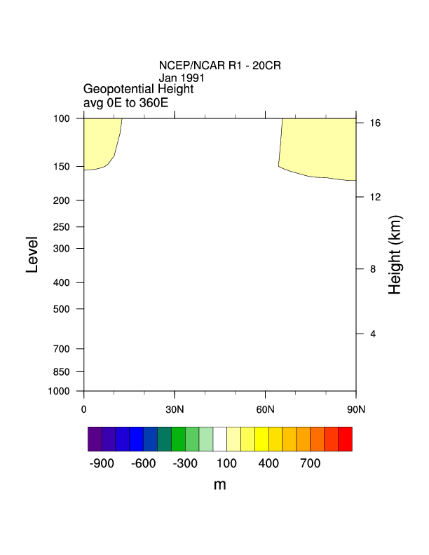 Height/lat mean differ | 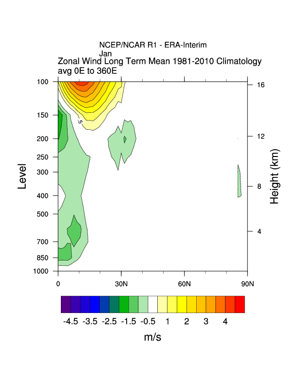 r1-era zonal wind corss |
 Height/lon mean | 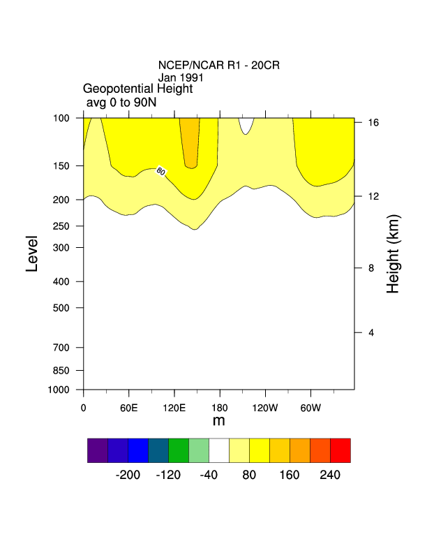 Height/lon mean | 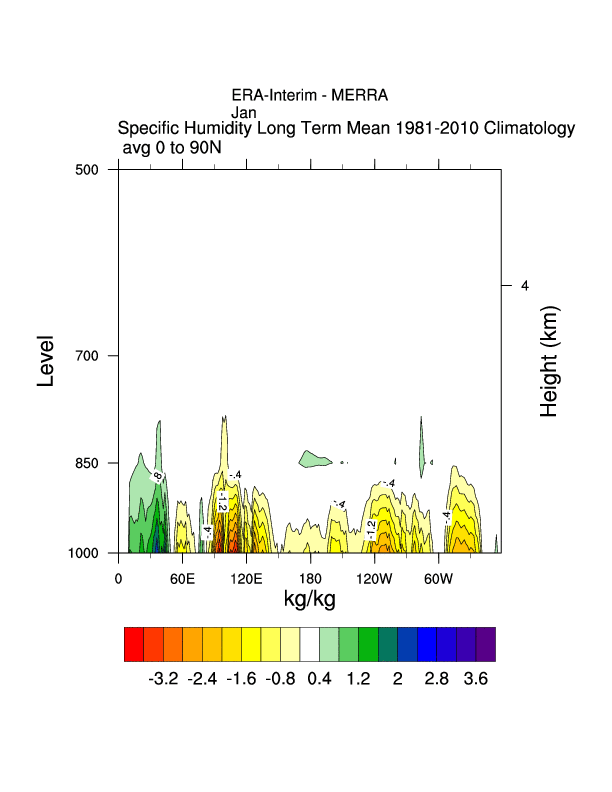 era-merra sh cross section |
 Map Anomaly | 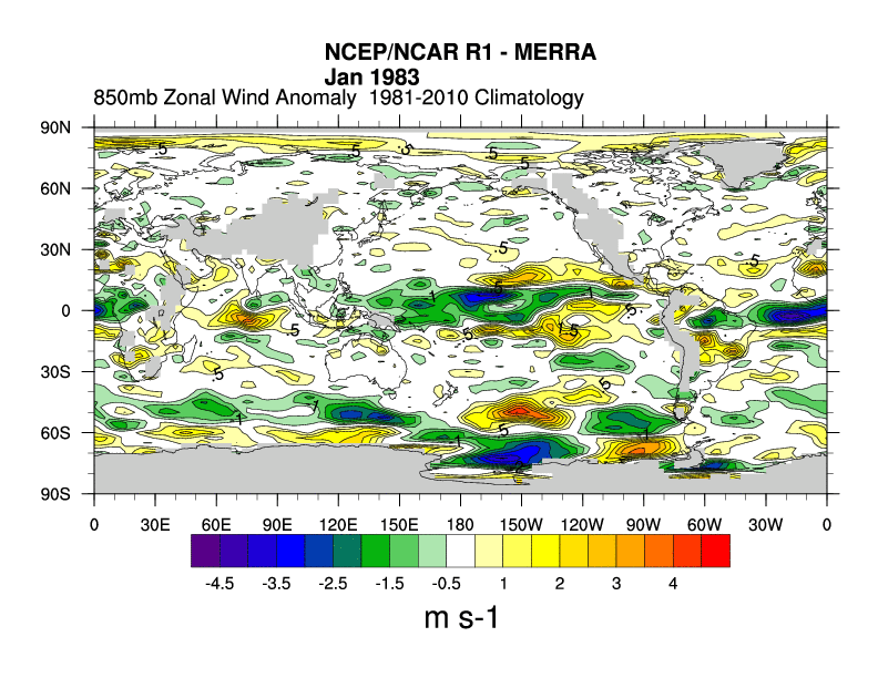 map anom diff |  nc r1 u mean mult yrs |
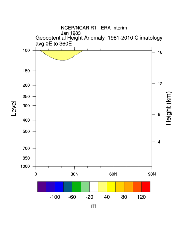 Height/lat Anomaly Differ:hgt | 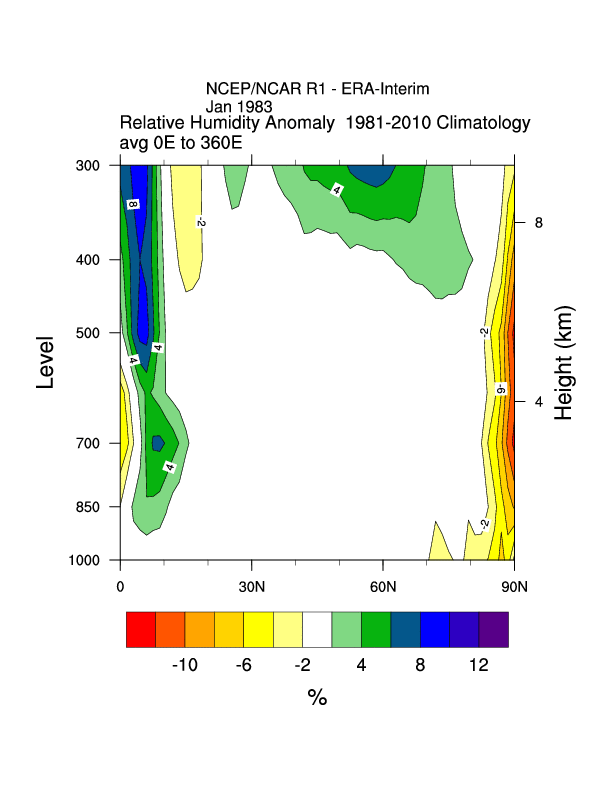 Height/lat anom diff:RH | 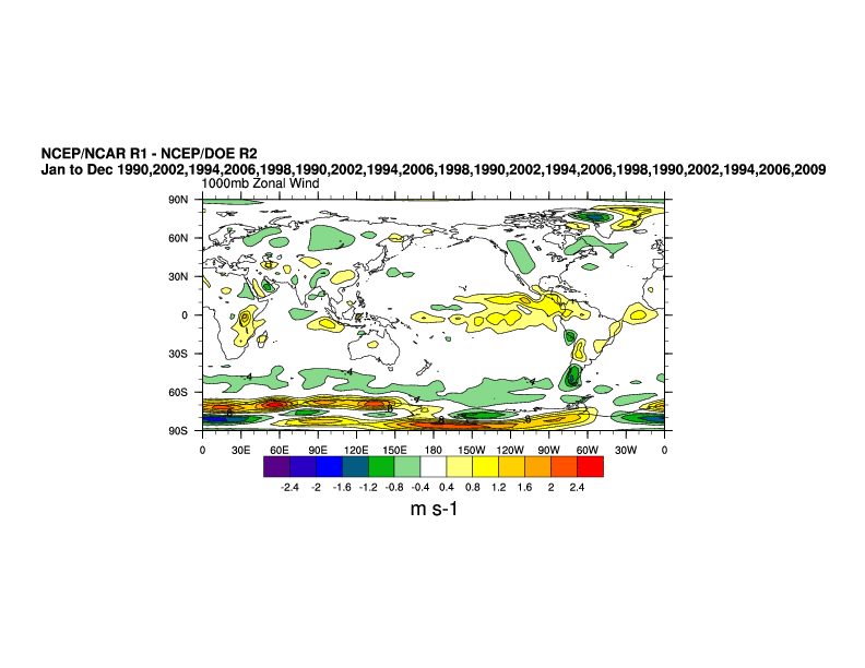 ncep r1-ncep r2 diff |
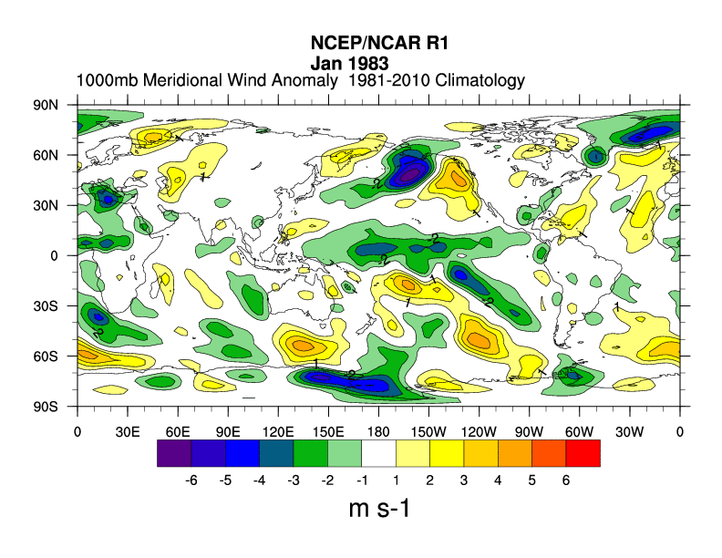
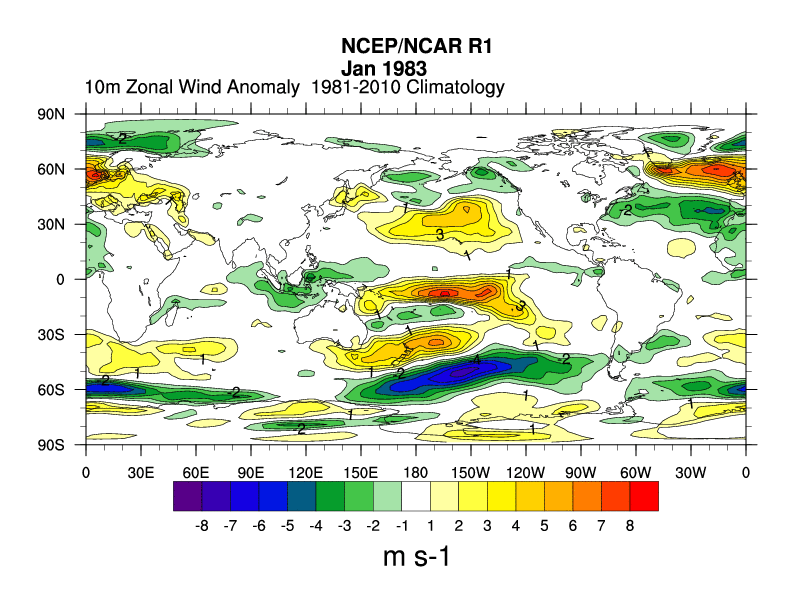 ncep 10m u anom 1983 | 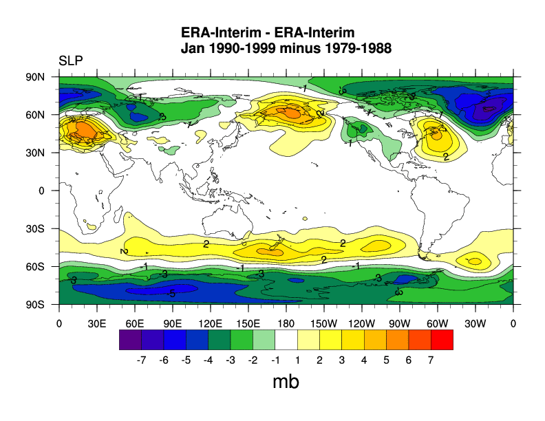 ERA decadal diff slp | 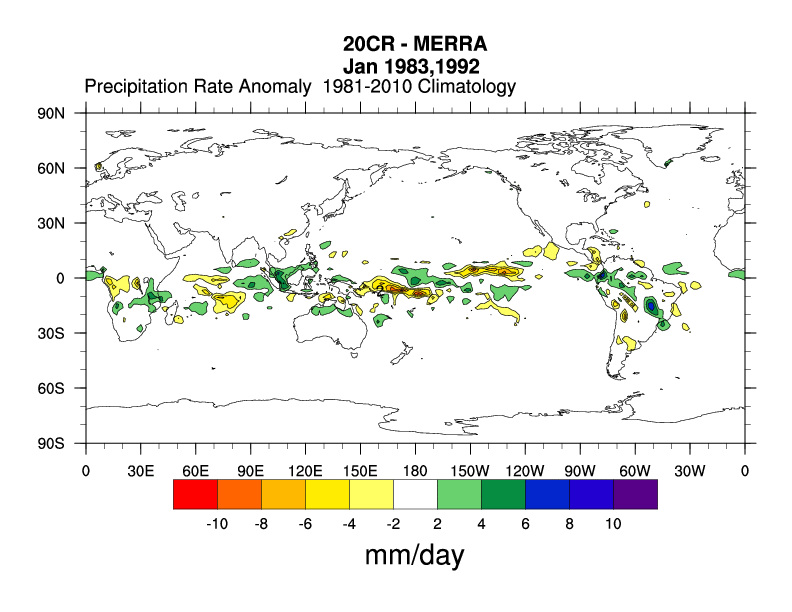 20cr -merra prate |