EOS Satellite Retrievals and Validation
Did you know... The temperature in the Arctic can drop below –50°C.
The Terra satellite was the flagship of the NASA Earth Observing System (EOS) that would provide global data on the state of the atmosphere, land, and oceans from space. The program particularly focuses on the interaction of each of these elements of the earth system with solar radiation and with one another. It was launched on February 24th 2000 and carried a payload of five state-of-the-art sensors including MODIS, MISR, CERES, MOPITT and ASTER.
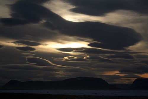
PSL Arctic researchers supported the EOS program by developing long-term cloud data sets in the Arctic to validate the Arctic cloud retrievals. Particular focus has developed vertical profiles of cloud properties to analyze how complex, multilayer clouds will be "seen" by the integrated measurements from the satellite. Arctic clouds are particularly challenging for satellite observers as they often provide low contrast with underlying ice and snow surfaces, and many satellite observing techniques are limited during the long polar night and by low solar viewing angles. We worked particularly with the MODIS, MISR and CERES instruments.
The following images show cloud ice water content and size retrievals and comparisons to MODIS retrievals.