
ITCT 2001 G-4 Flight Track Map
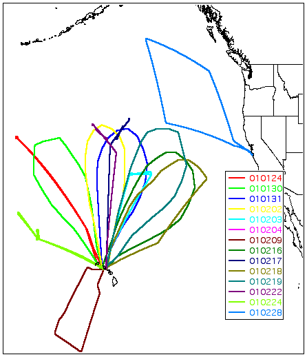
The map shows the 15 flights of the NOAA G4 aircraft during the 2001 ITCT study. The legend indicates the date when the flight originated in yymmdd (2 digit year, 2 digit month, 2 digit day) format and is color coded.
None of these flights were specifically targeted to study the transport or production of ozone. The science objectives of the flights were those of the annual Winter Storms Study; the measurement of ozone was an adjunct effort. Ozone was measured on 11 of the 15 flights.