The Penn State University SURFRAD station is located on the
grounds of PSU's agricultural research farm. It is in a broad
Appalachian valley between Tussey and Bald Eagle Ridges, and is
hosted by the Meteorology Department.
| Penn State, Pennsylvania |
|---|
| Latitude: | 40.72012 degrees North |
| Longitude: | 77.93085 degrees West |
| Elevation: | 376 meters |
| Time Zone: | Local Time + 5 hours = UTC |
| Installed: | June 1998 |
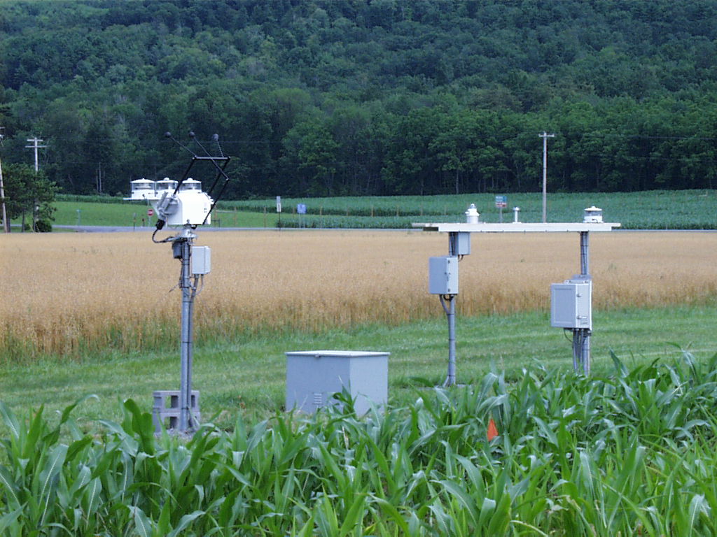
| SURFRAD data from the Pennsylvania site. |
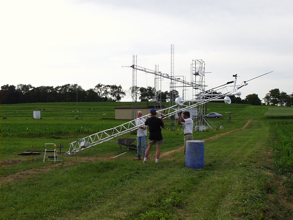
Chris Cornwall, Dennis Wellman and John Augustine raise the met tower.
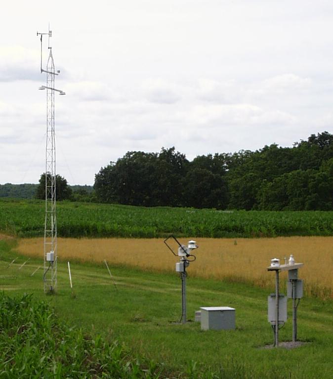
The Penn State SURFRAD station solar tracker, UPS enclosure, and radiometer
platform, July, 2000.
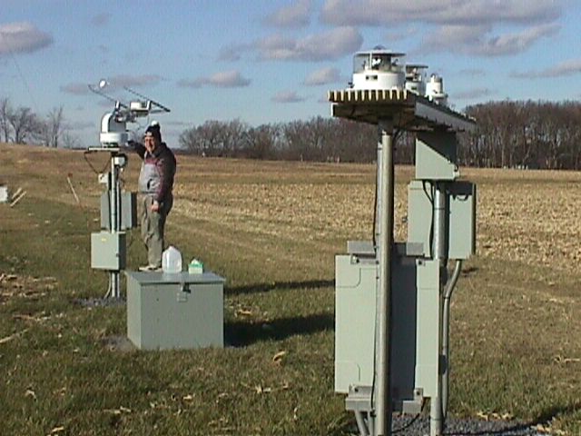
The Penn State SURFRAD station. In the foreground is the main SURFRAD
platform with a ventilated pyranometer, a PAR, and broadband UVB radiometer;
the datalogger enclosure, UV power supply and station power
distribution boxes are mounted on posts underneath the main platform.
Directly north of the main platform is the UPS enclosure. Next to that is
solar tracker with a pyrheliometer for measuring direct solar radiation, and
a pyranometer and pyrgeometer, both ventilated and shaded, for measuring
diffuse solar and downwelling infrared radiation. In the background is the
10-meter tower with a pyranometer and pyrgeometer facing downward to
measure upwelling solar and infrared radiation, respectively. Also
at the top of the tower are a wind monitor, and air temperature and relative
humidity sensors.
Gary Hodges works on installing the Total Sky Imager at the Penn State
SURFRAD site.
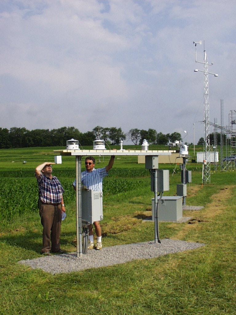
John Augustine (right) shows site manager Dick Thompson the radiometer platform
just after the site was installed in June of 1998.
Dick Thompson performs maintenance on the tracker-mounted instruments at
the SURFRAD station at Penn State, November 1998, five months after
installation. Note the grass has grown over the cable trenches.