
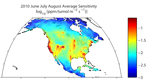
CarbonTracker-Lagrange (CT-L) is a new regional inverse modeling framework currently under development and designed for estimating North American greenhouse gas emissions and uptake fluxes. CT-L uses surface sensitivity footprints from Lagrangian Particle Dispersion Models driven by high-resolution meteorological simulations. Surface fluxes are optimized for consistency with a variety of in situ and remote sensing observations of CO2 using Bayesian and geostatistical inverse modeling techniques. A beta footprint product is available for download now, and more products are coming soon.
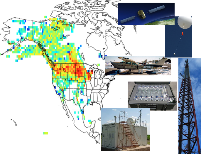
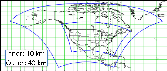
CT-L uses a high-resolution WRF-STILT atmospheric transport model customized for Lagrangian simulations (Nehrkorn et al., Meteorol. Atmos. Phys., 107, 2010). Species independent 10-day surface footprints are computed and stored for each measurement along with back-trajectories.
CT-L uses an efficient inverse modeling framework described by Yadav and Michalak [Geoscientific Model Development, 6, 583-590, 2013] implemented at NOAA in python and modified to include boundary value optimization similar to the method of Lauvaux et al. [Atmospheric Chemistry and Physics, 12(1), 337-354, 2012]. The fast sparse-matrix algorithms enable ensembles of calculations to test sensitivity to data-weighting scenarios, mathematical construct(form of state vector; Bayesian versus geostatistical optimization), and prior information.
Support for CT-L has been provided by the NOAA Climate Program Office’s Atmospheric Chemistry, Carbon Cycle, & Climate (AC4) Program and the NASA Carbon Monitoring System.