2013 News & Events
HIPPO Global Scale Air Chemistry Dataset Available
4 February 2013
Data from the HIAPER Pole-to-Pole Observations (HIPPO) study of greenhouse gases and aerosols are now available to the atmospheric research community and the public. This comprehensive dataset provides the first high-resolution vertically resolved measurements of over 90 unique atmospheric species from nearly pole-to-pole over the Pacific Ocean across all seasons. The suite of atmospheric trace gases and aerosols is pertinent to understanding the carbon cycle and challenging global climate models. This dataset will provide opportunities for research across a broad spectrum of Earth sciences, including those analyzing the evolution in time and space of the greenhouse gases that affect global climate.
Two websites, created by the National Center for Atmospheric Research, Earth Observing Laboratory, and U.S. Department of Energy, CDIAC (the Carbon Dioxide Information Analysis Center), debuted on 30 November 2012 to serve those interested in acquiring HIPPO data and documentation. See the bottom of this announcement for more details.
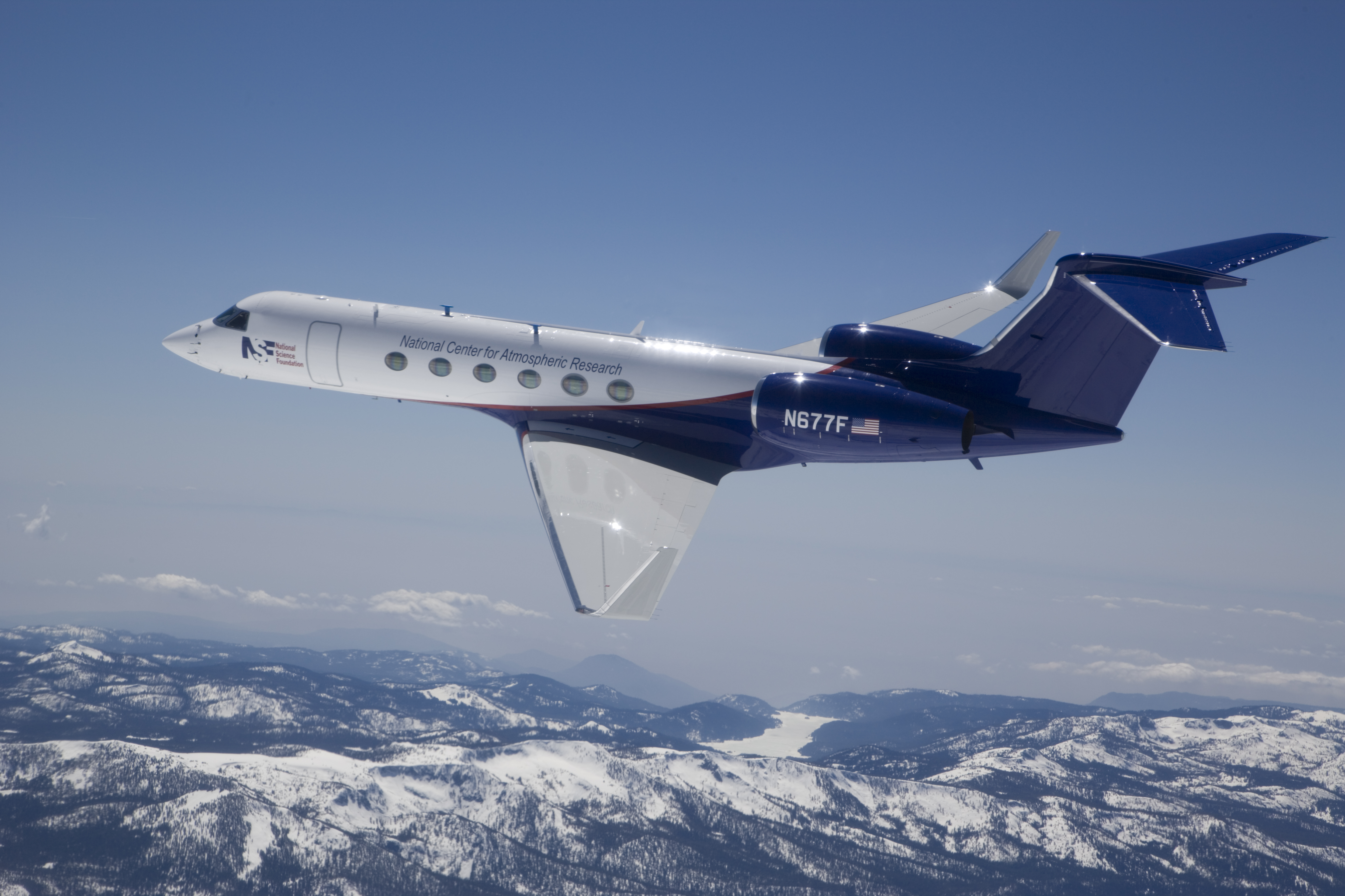
HIPPO was an NSF- and NOAA-funded, multi-year global airborne research project to survey the latitudinal and vertical distribution of greenhouse and related gases, and aerosols. Project scientists and support staff flew five monthlong missions over the Pacific Basin on the NSF/NCAR Gulfstream V, High-performance Instrumented Airborne Platform for Environmental Research (HIAPER) aircraft between January 2009 and September 2011, spread throughout the annual cycle, from the surface to 14 km in altitude, and from 87°N to 67°S. CIRES Fellow David Fahey, a NOAA CSD research physicist, is one of the key scientists who worked on the project.
The landmark study resulted in an extensive, highly detailed dataset of over 90 atmospheric species, from six categories, all with navigation and atmospheric structure data, including greenhouse gases and carbon cycle gases; ozone and water vapor; black carbon and aerosols; ozone-depleting substances and their replacements; light hydrocarbons and PAN; and sulfur gases/ocean-derived gases. A suite of specialized instruments on the aircraft made high-rate measurements as the plane flew, while several whole air samplers collected flasks of air for later analysis in laboratories around the U.S.
HIPPO Data Archives
Integrated measurement data products and user documentation are provided at the Carbon Dioxide Information Analysis Center (CDIAC) HIPPO data archive. Files are in ASCII text format. Products include:
- A comprehensive merged product at 10-second resolution for all high-rate measurements (40 measurements of 26 unique species, not counting flask measurements)
- Combined results from all discrete whole air sample and gas chromatograph measurements (77 unique species)
- Pressure-weighted mean column concentration data for total and 10 km columns and 100 m vertical intervals
- A subset of all measurements from NOAA flask samples that are directly comparable with data from the NOAA/ESRL/GMD CCGG cooperative air sampling network
- A subset of highly accurate MEDUSA flask sample trace gas and isotope data with additional diagnostics
The Earth Observing Laboratory (EOL) HIPPO data archive provides component data, documentation, and information, including:
- Photos, imagery, and movies from aircraft-mounted camera with time-synchronized navigation and state parameter data
- Pole-to-pole atmospheric cross-section plots of chemical species
- Investigator-provided quality-assured individual instrument data files
- Supporting data sets (e.g. operational satellite, model output, global observations, etc.)
- Ancillary flight information, field catalogs, data quality reports, software, and documentation