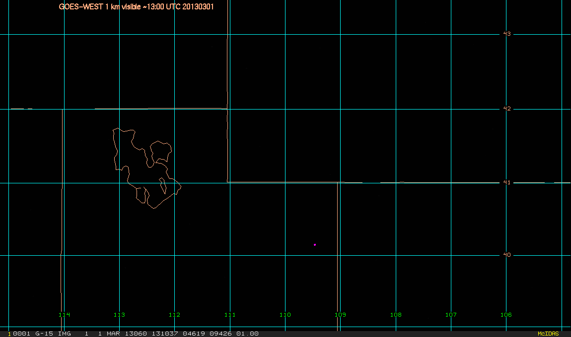
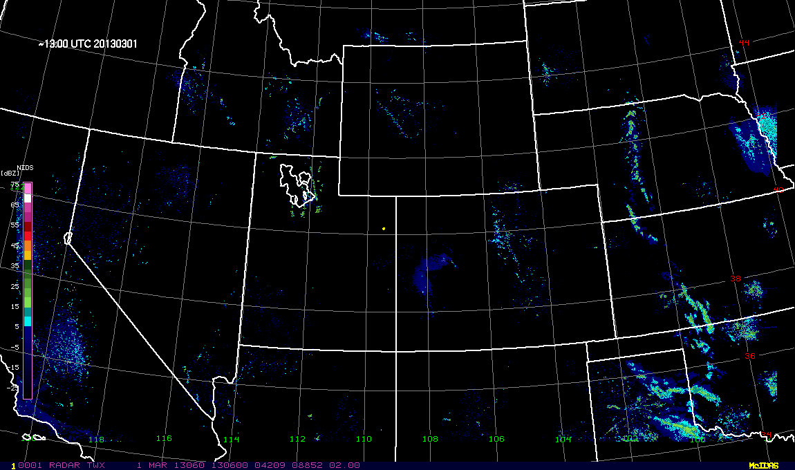
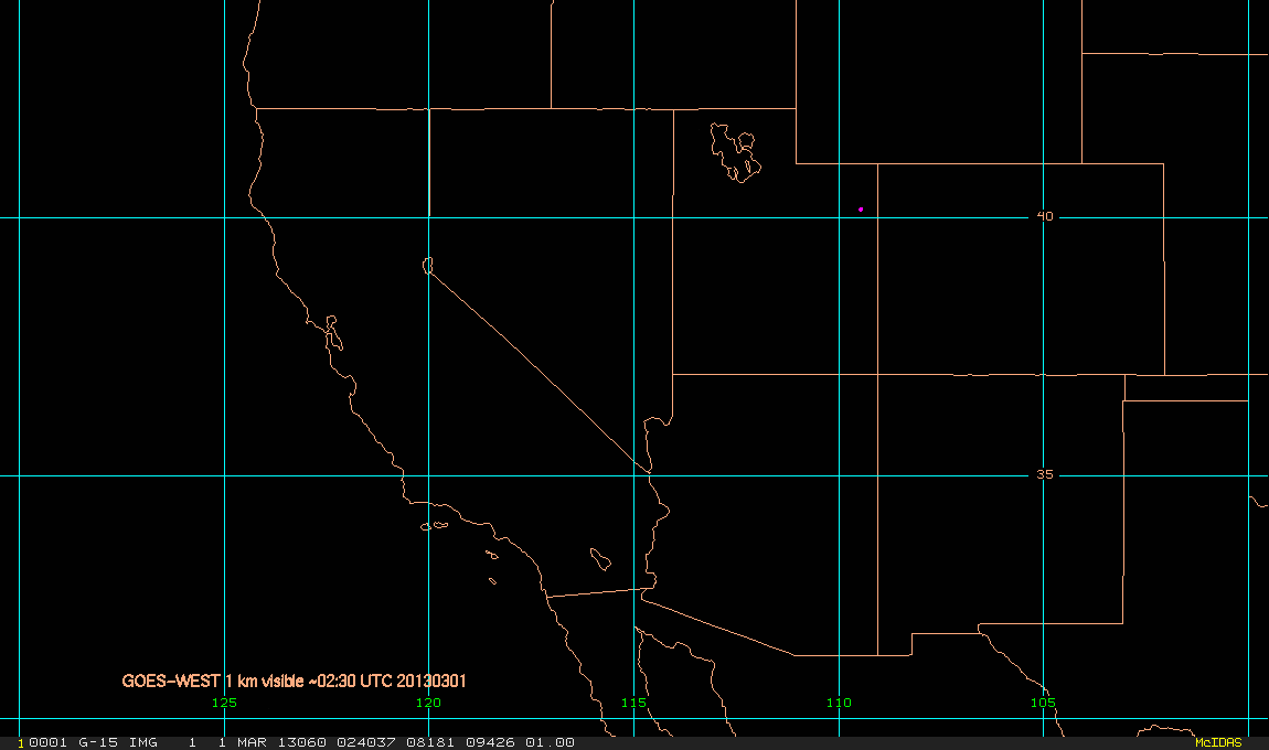
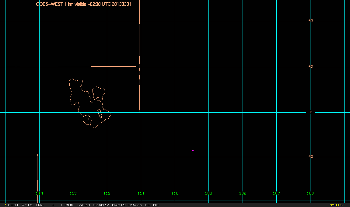
Products in support of the Uintah Basin Winter Ozone Study (UBWOS)
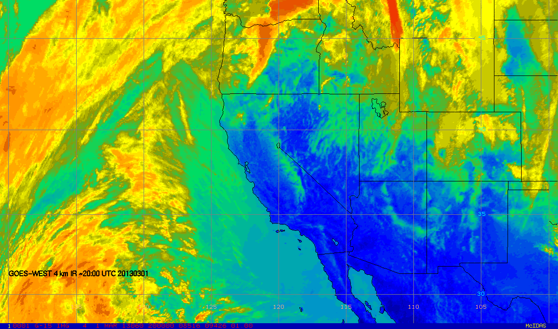
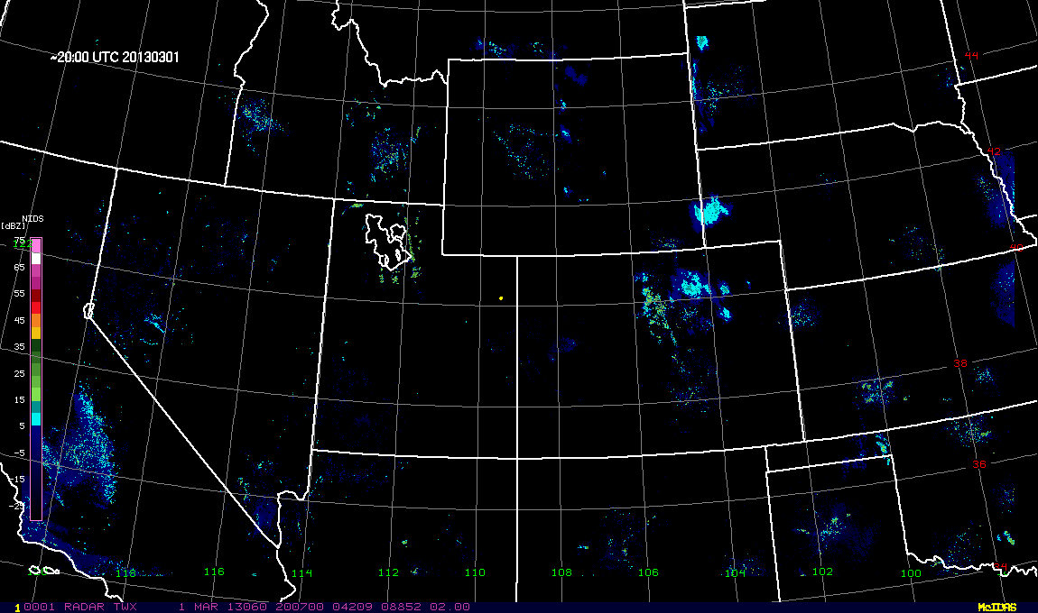
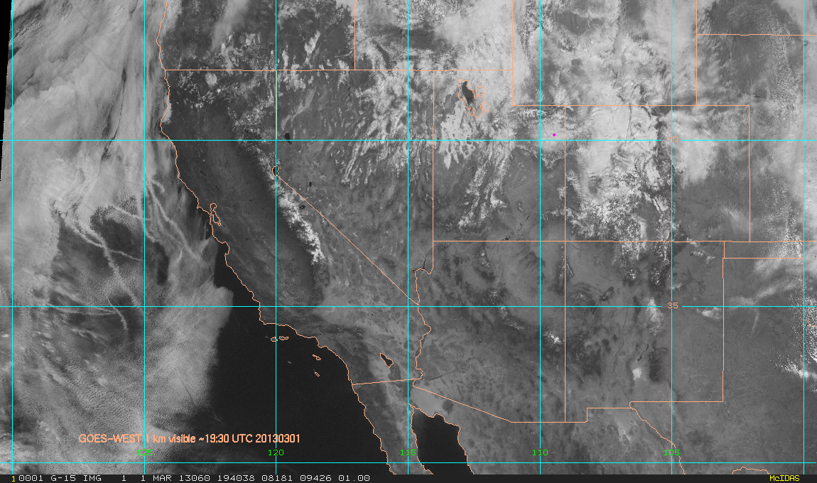
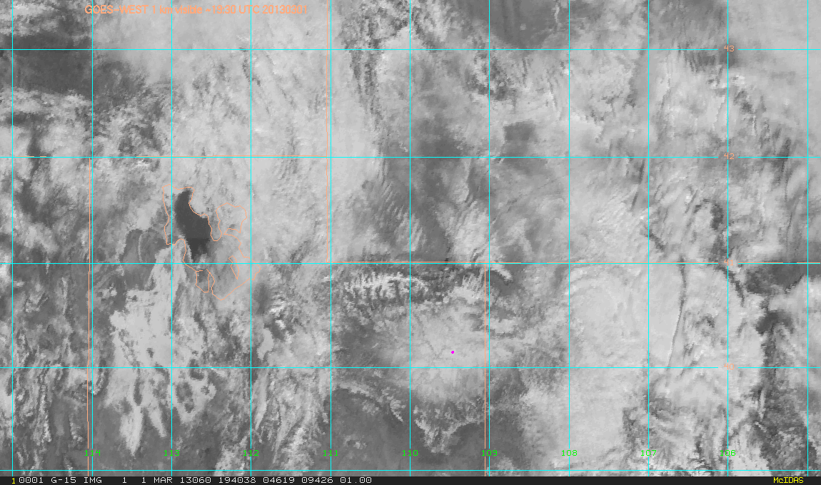
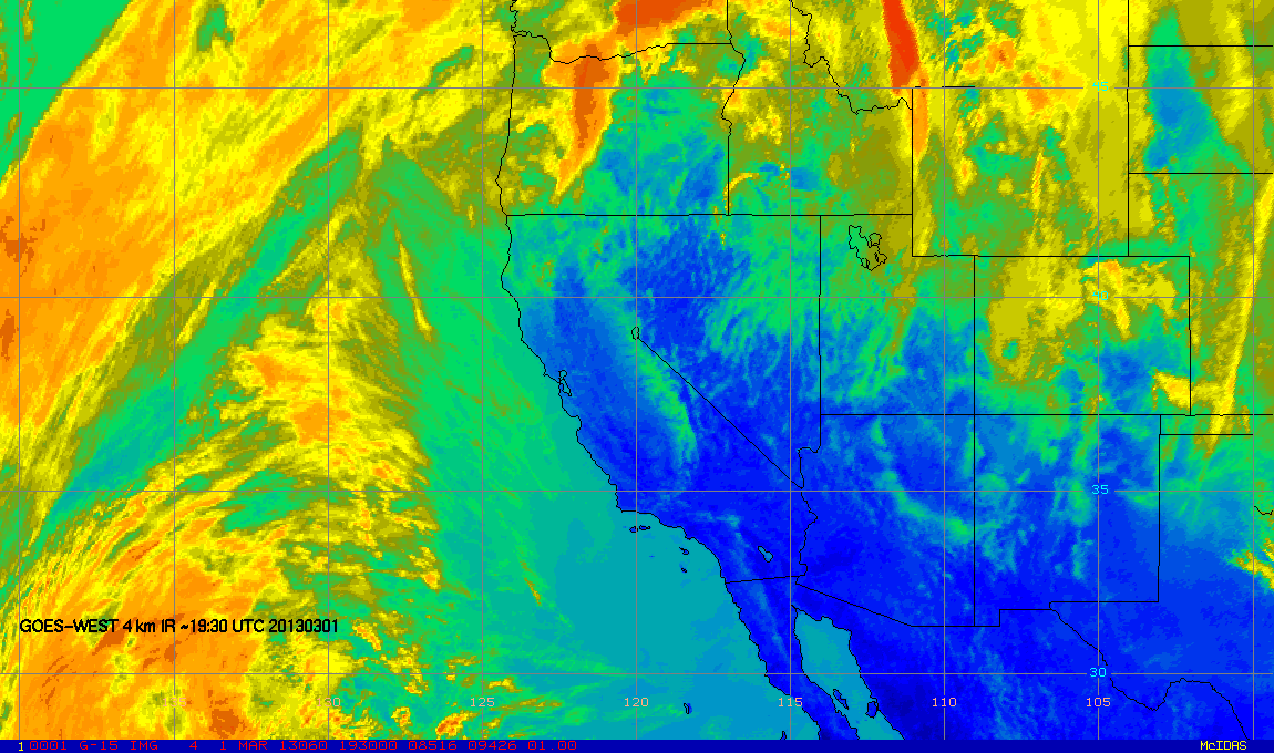
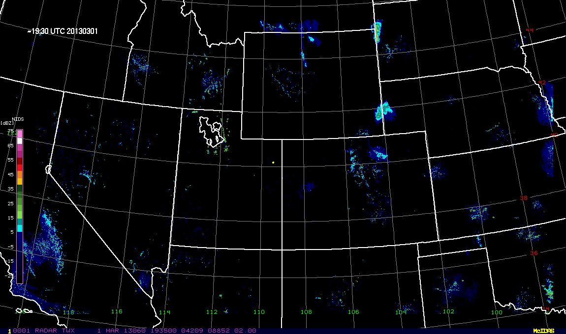
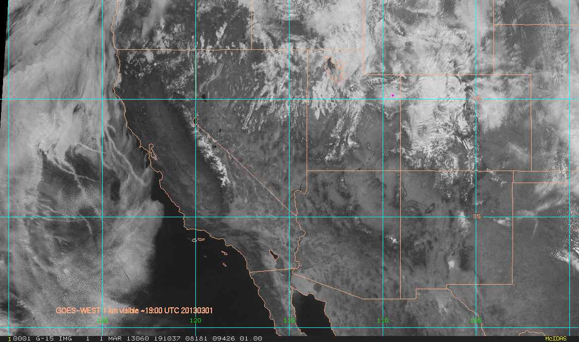
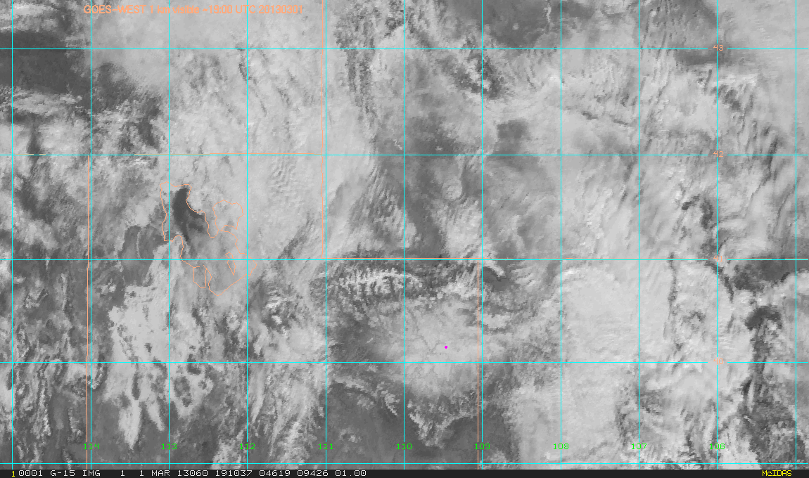
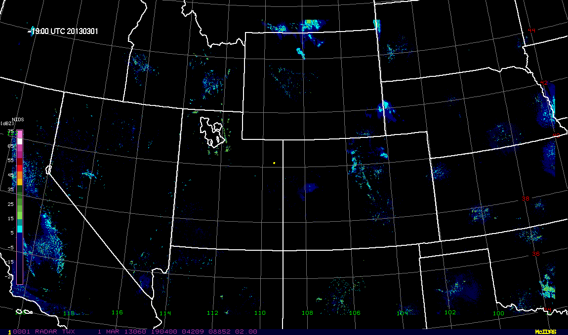
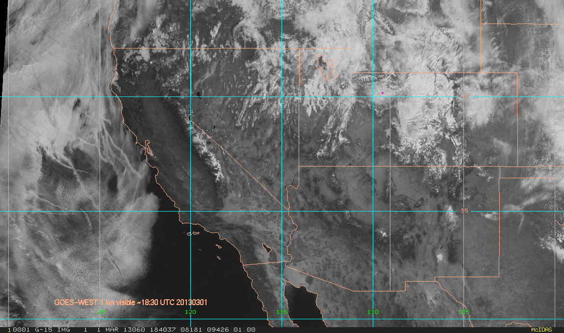
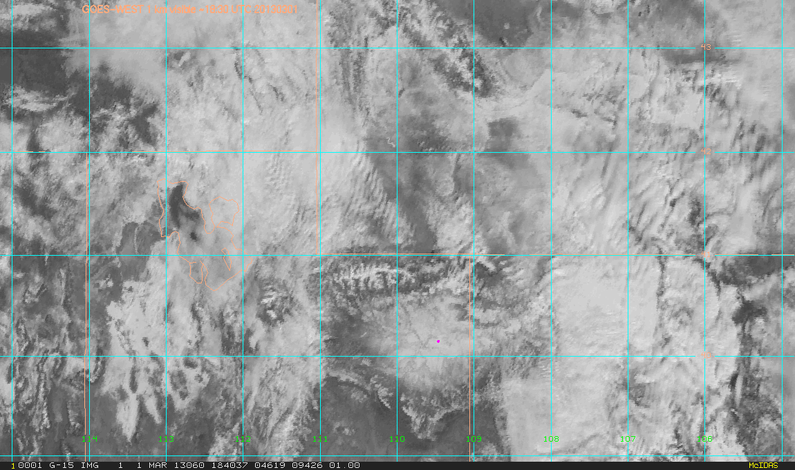
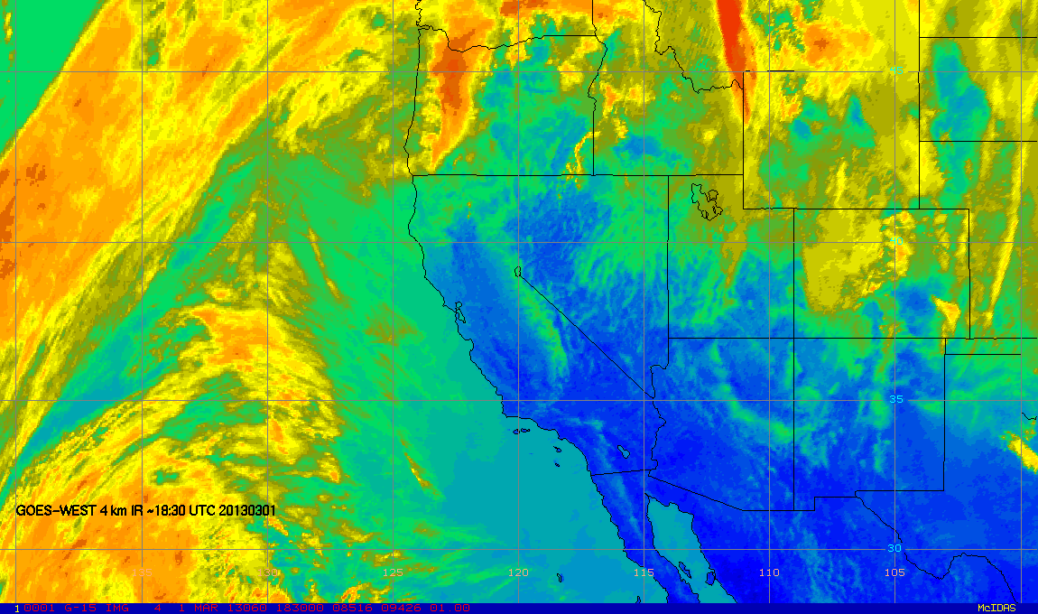
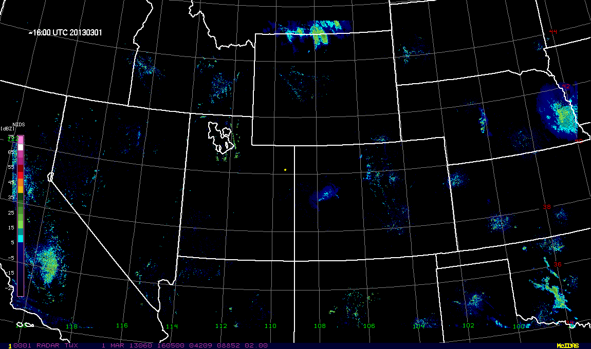
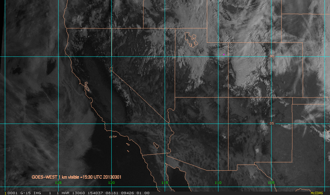
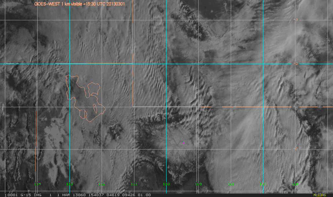
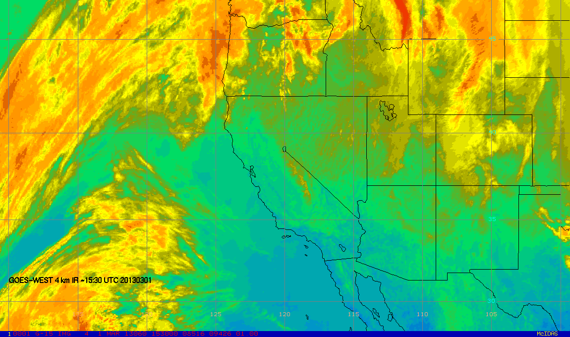
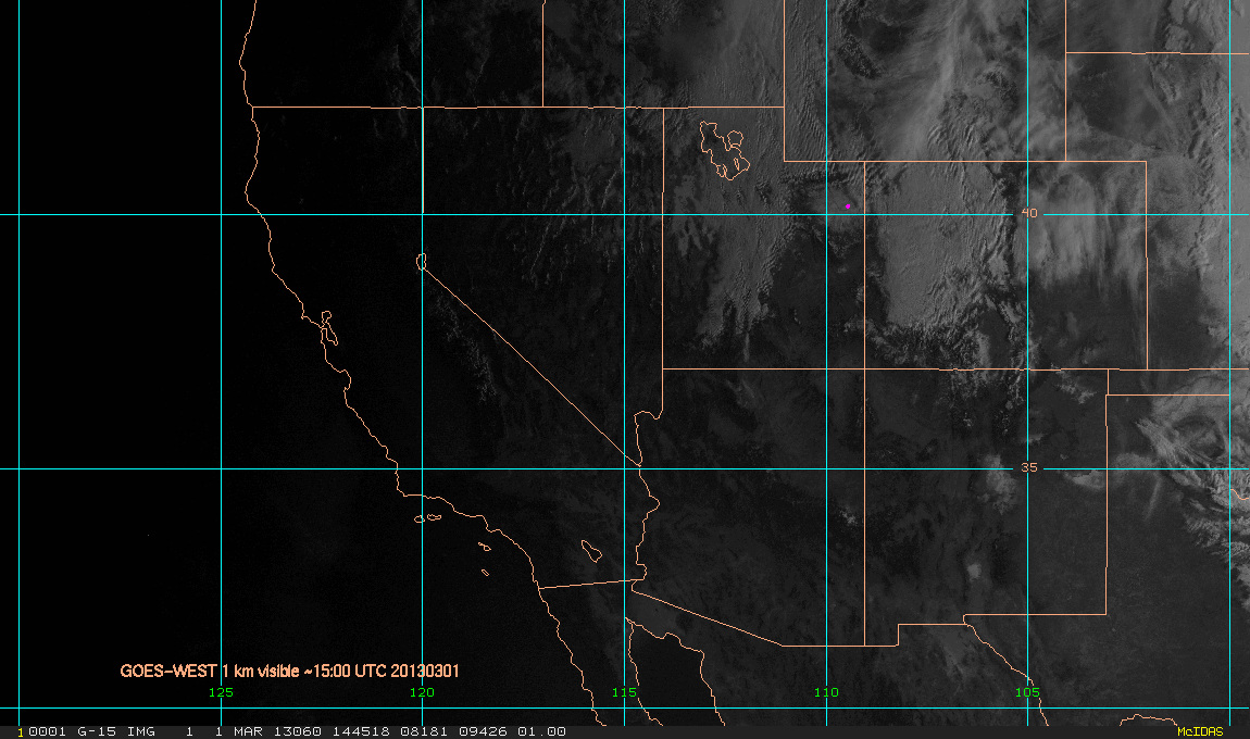
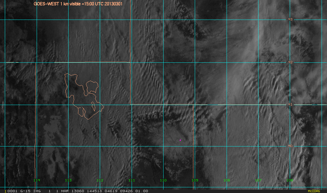
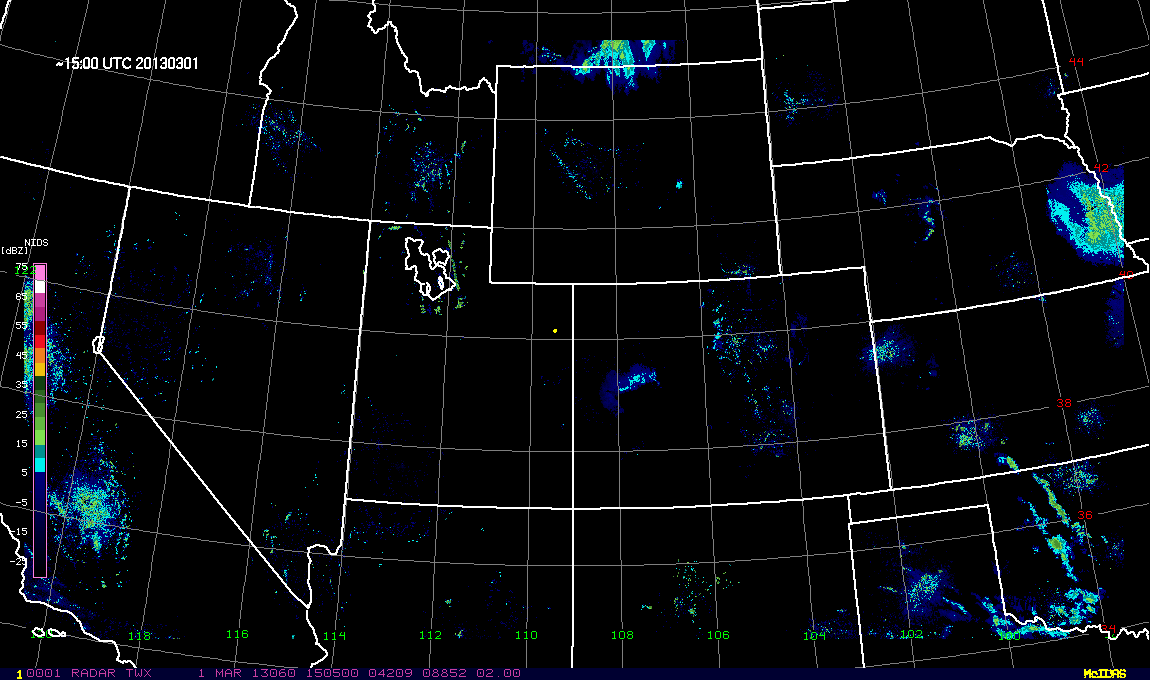
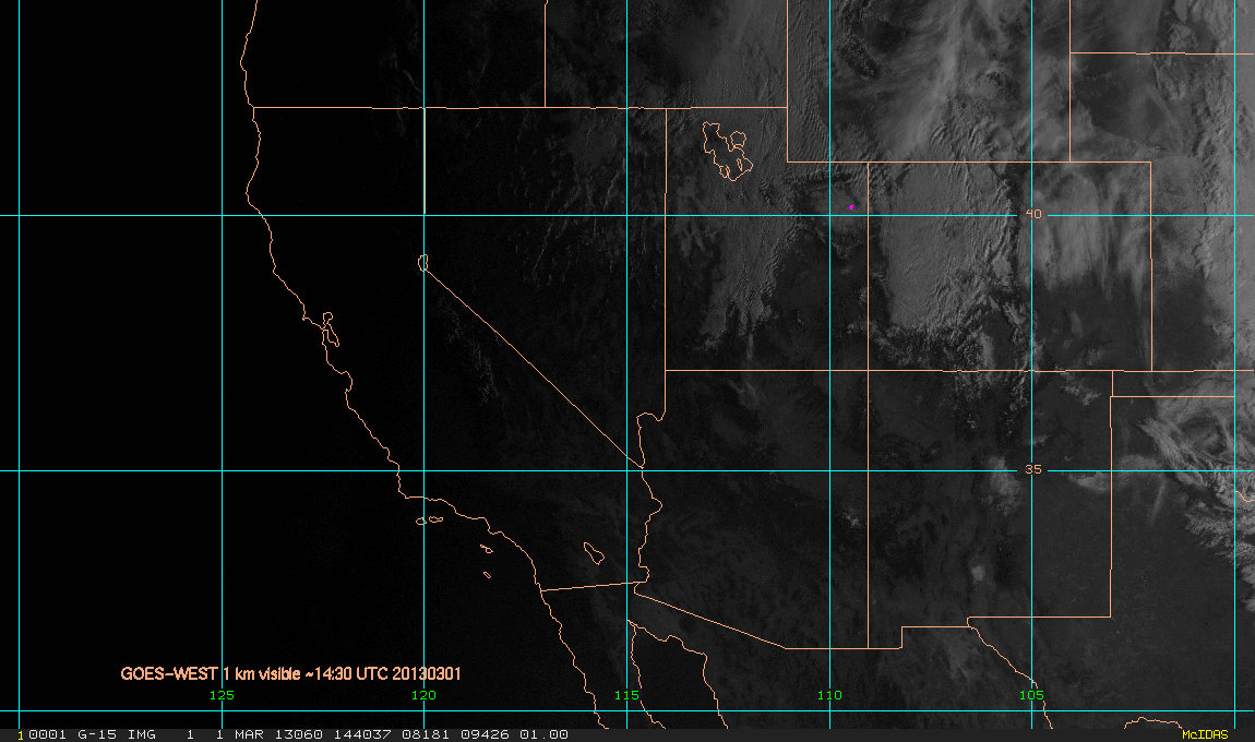
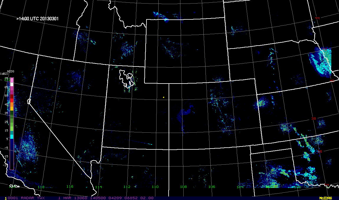
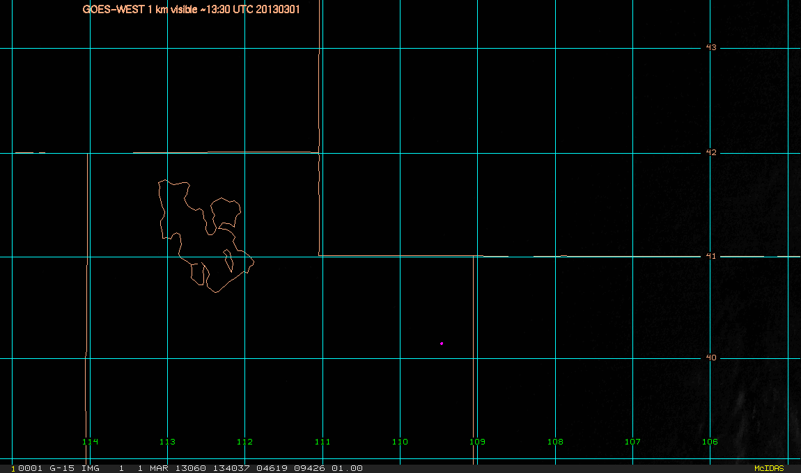
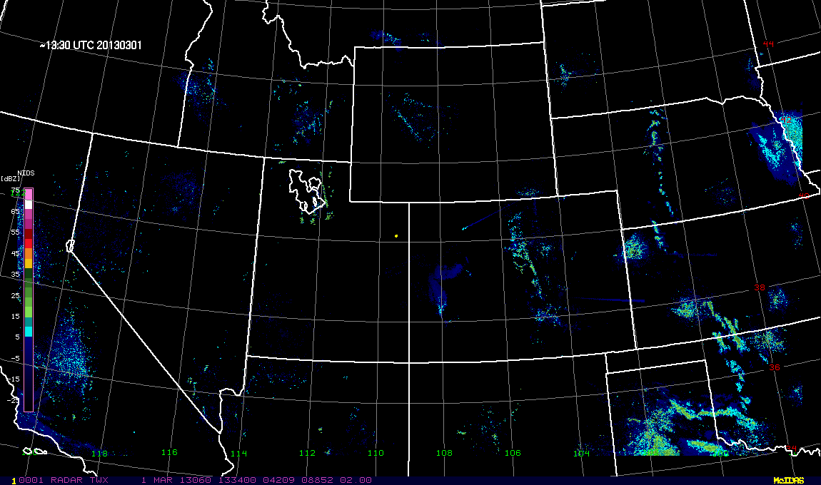
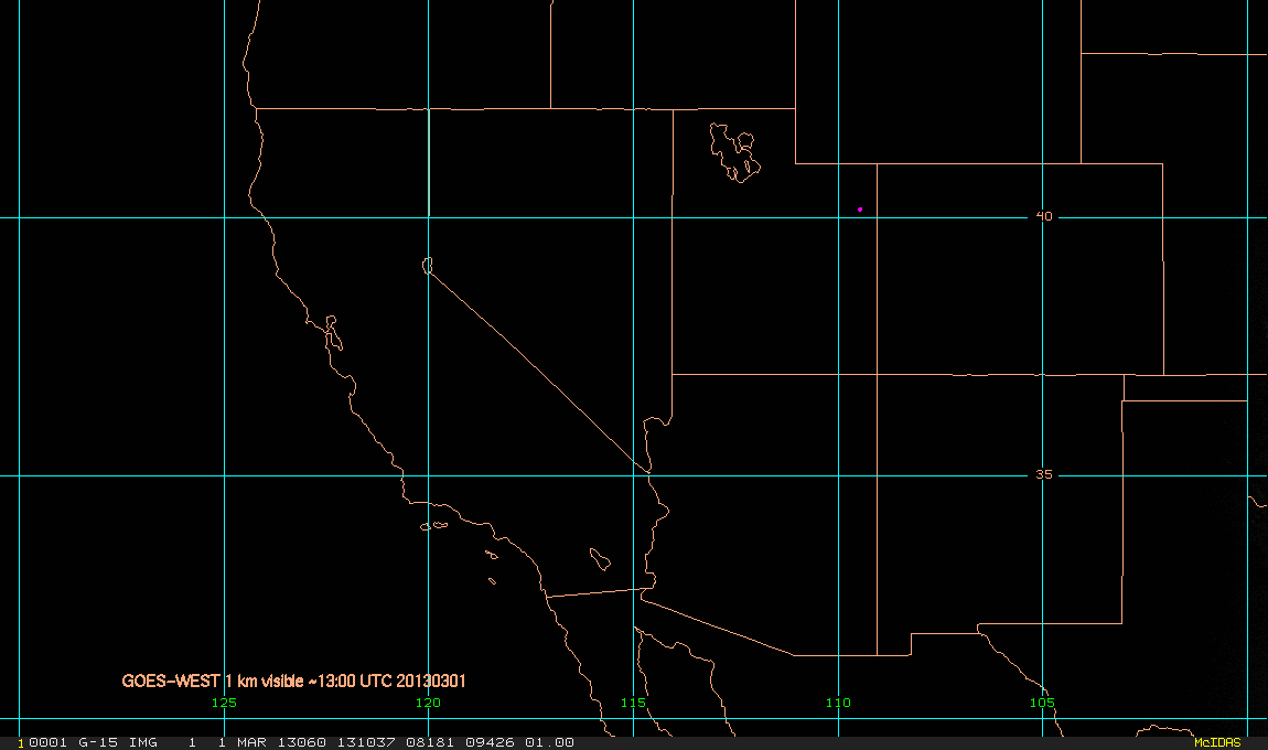
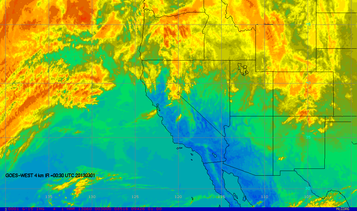
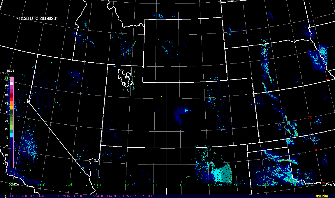
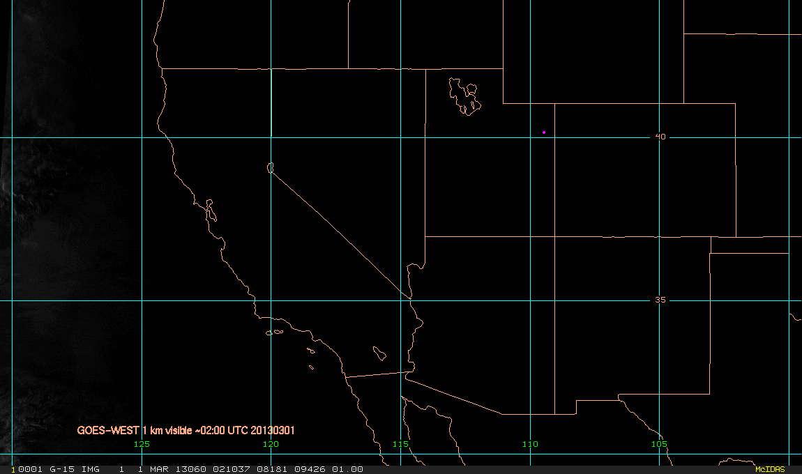
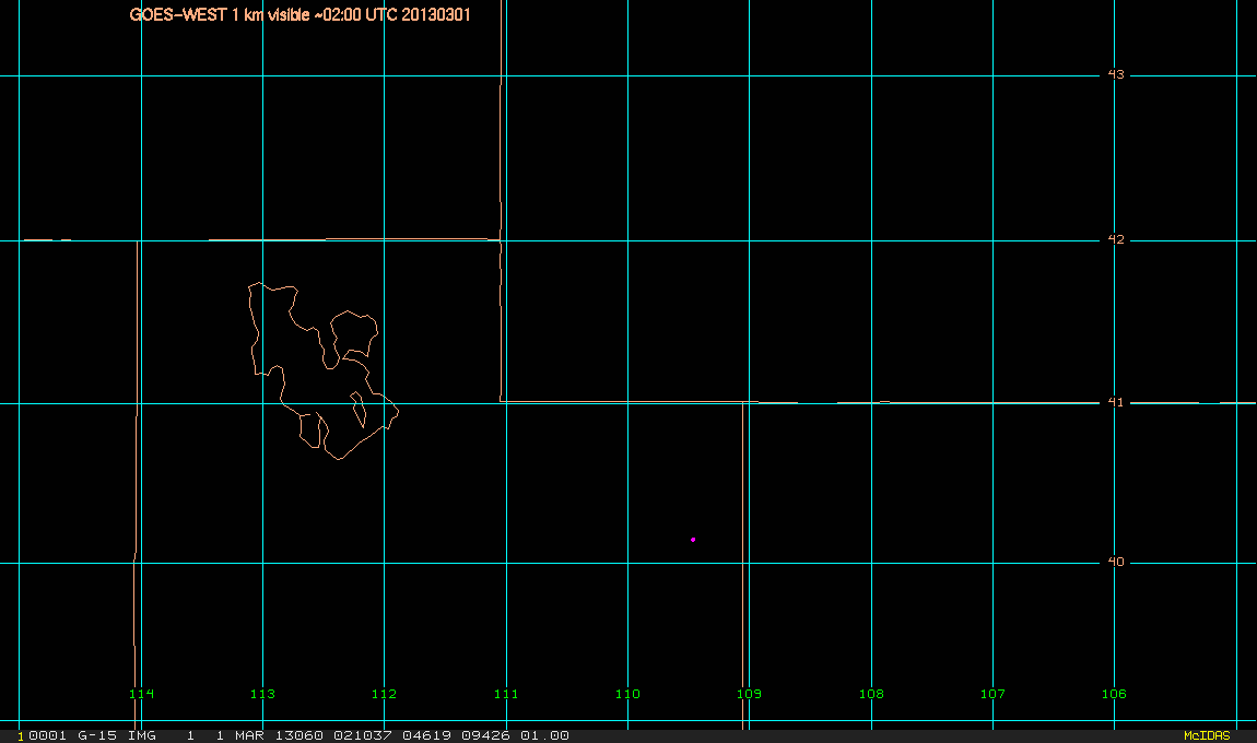
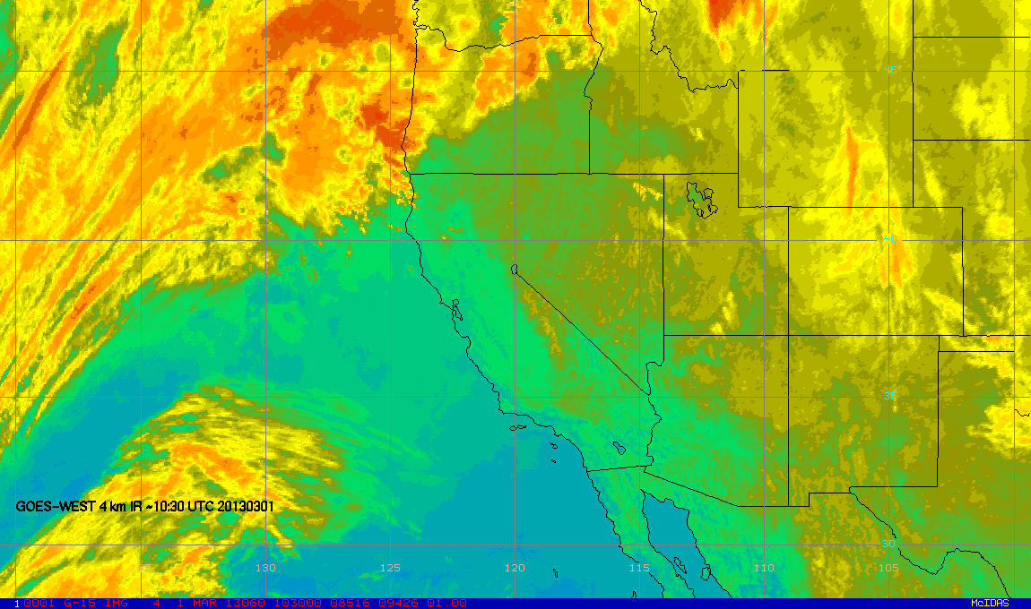
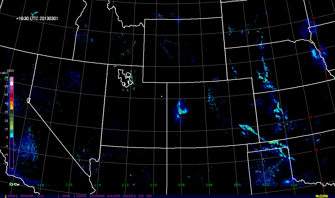
GOES-WEST & composite radar images
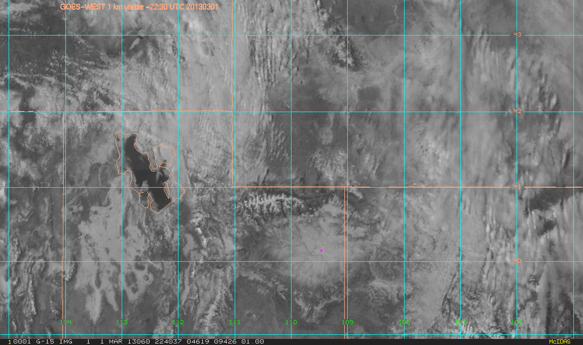
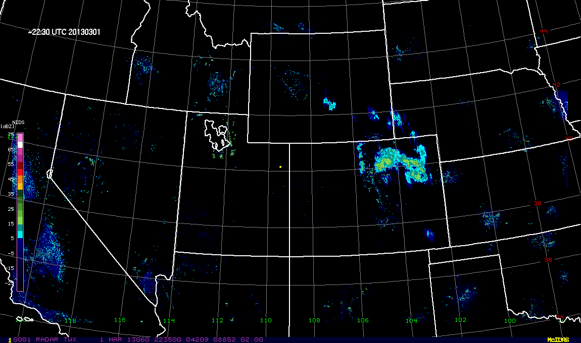
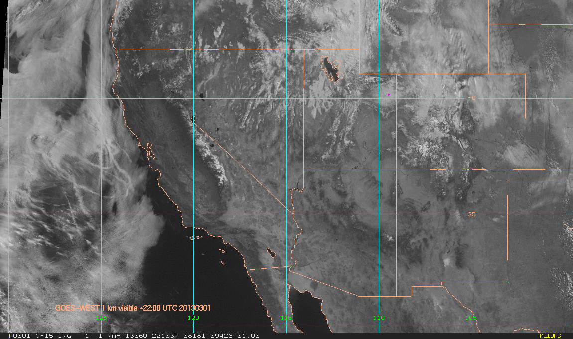
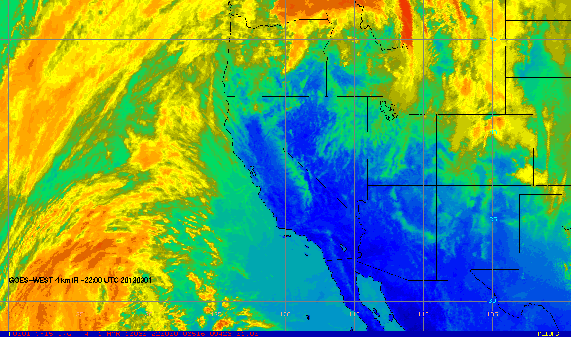
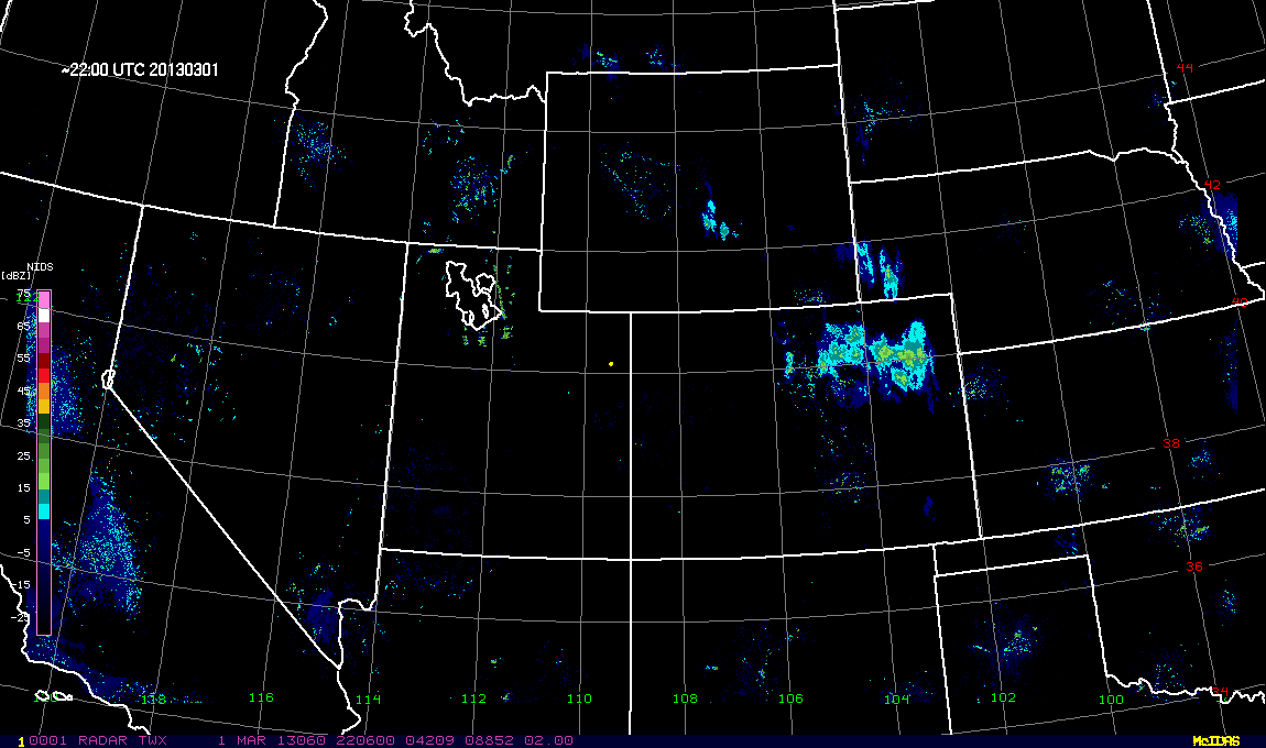
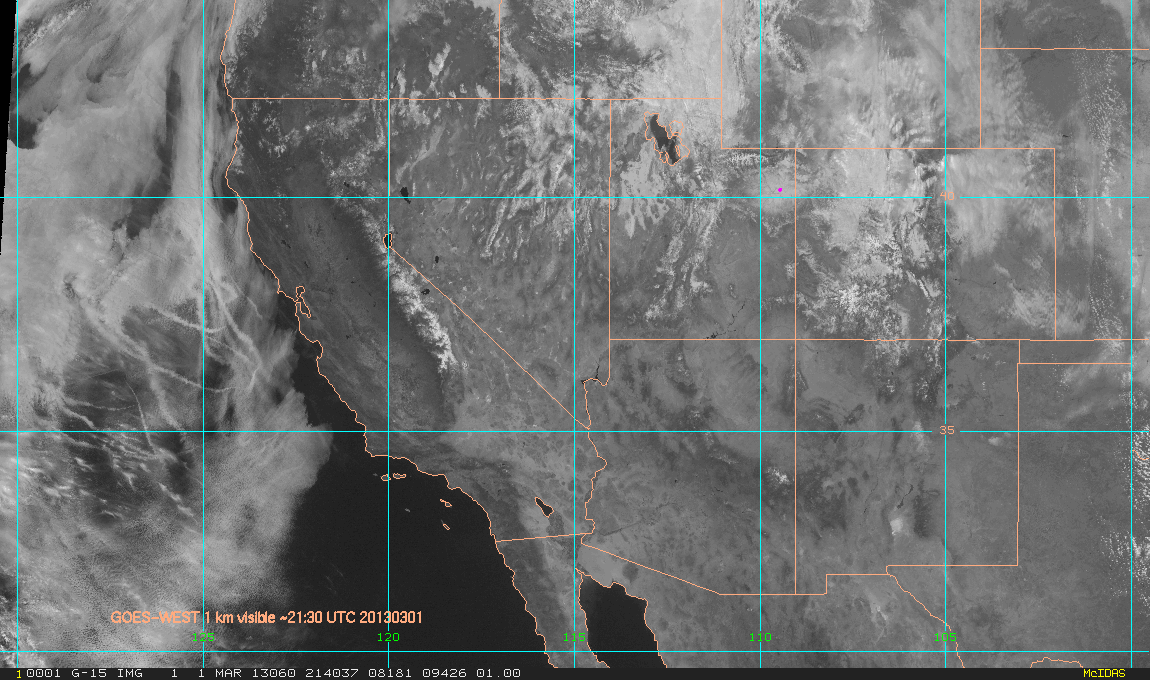
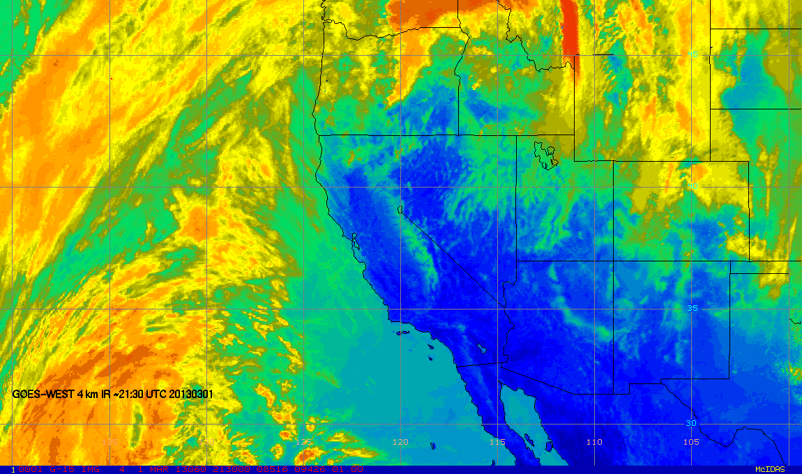
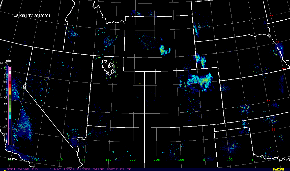
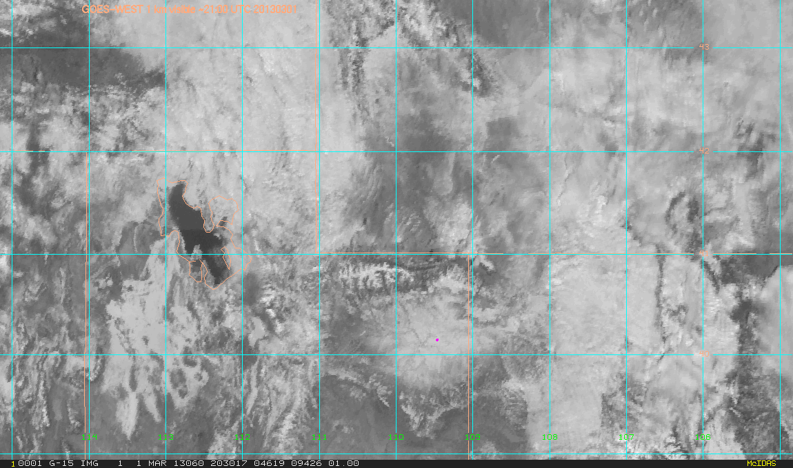
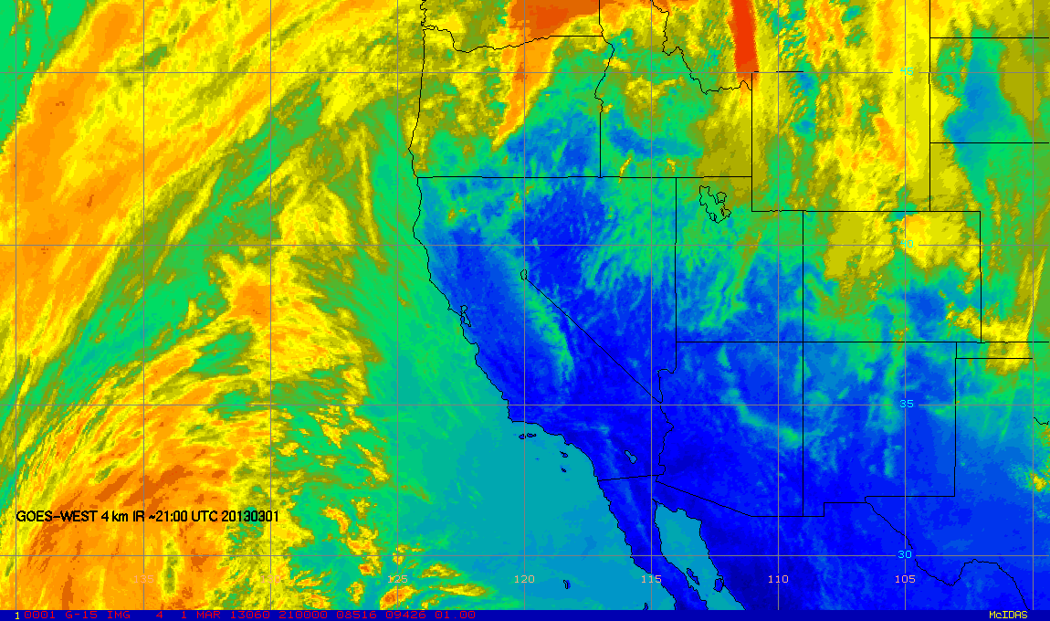
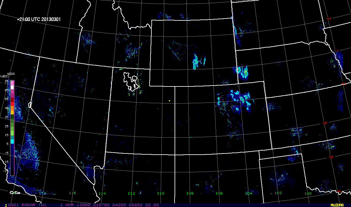
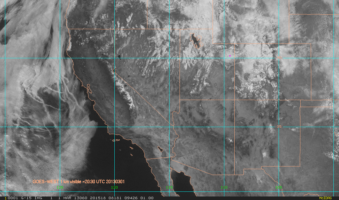
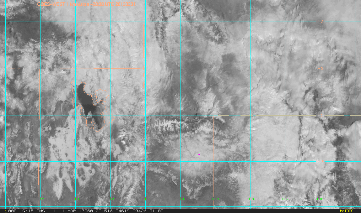
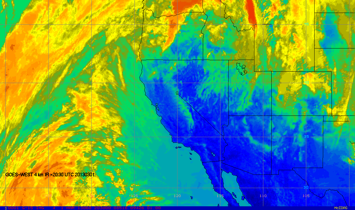
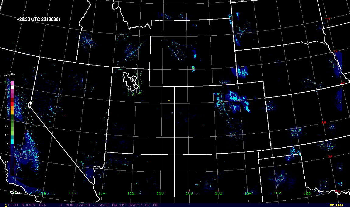
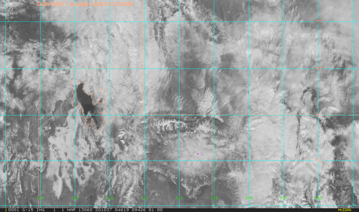
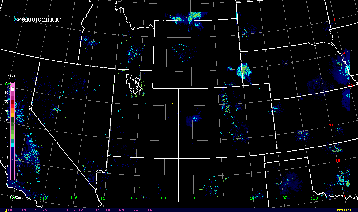
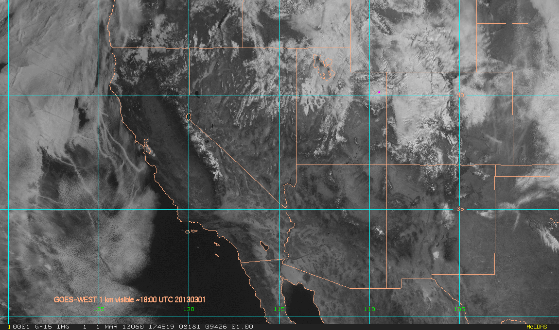
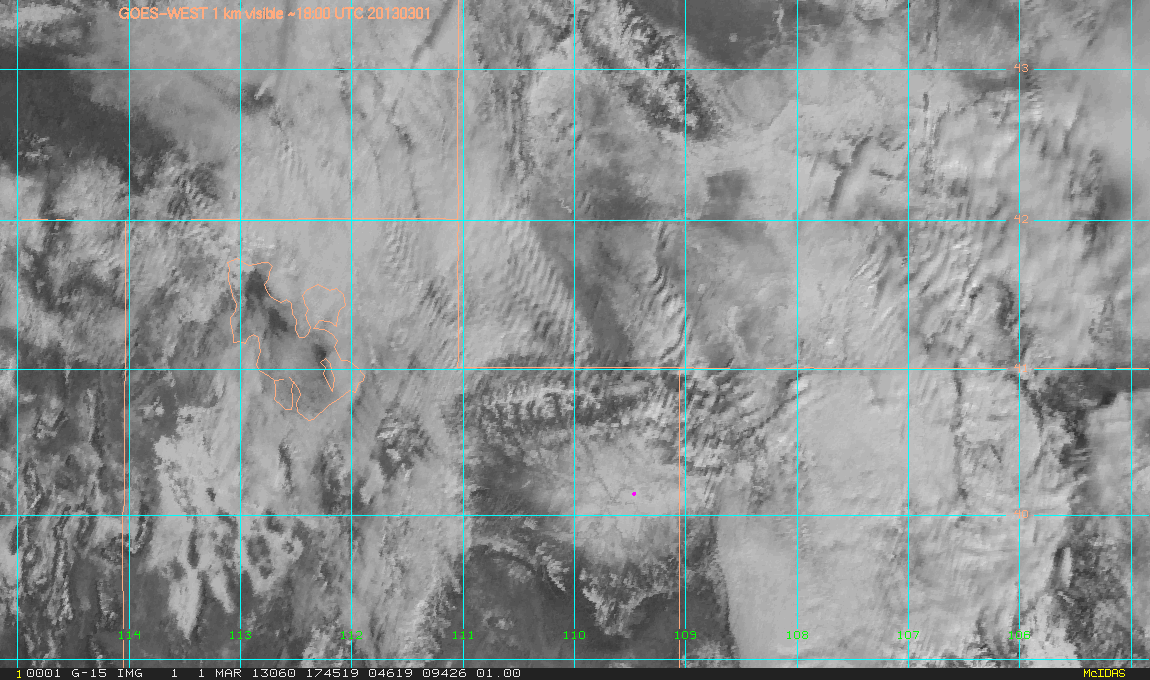
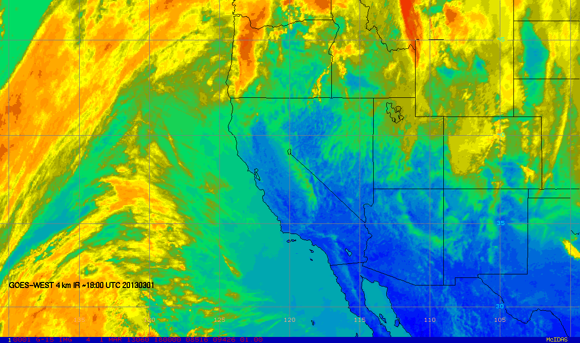
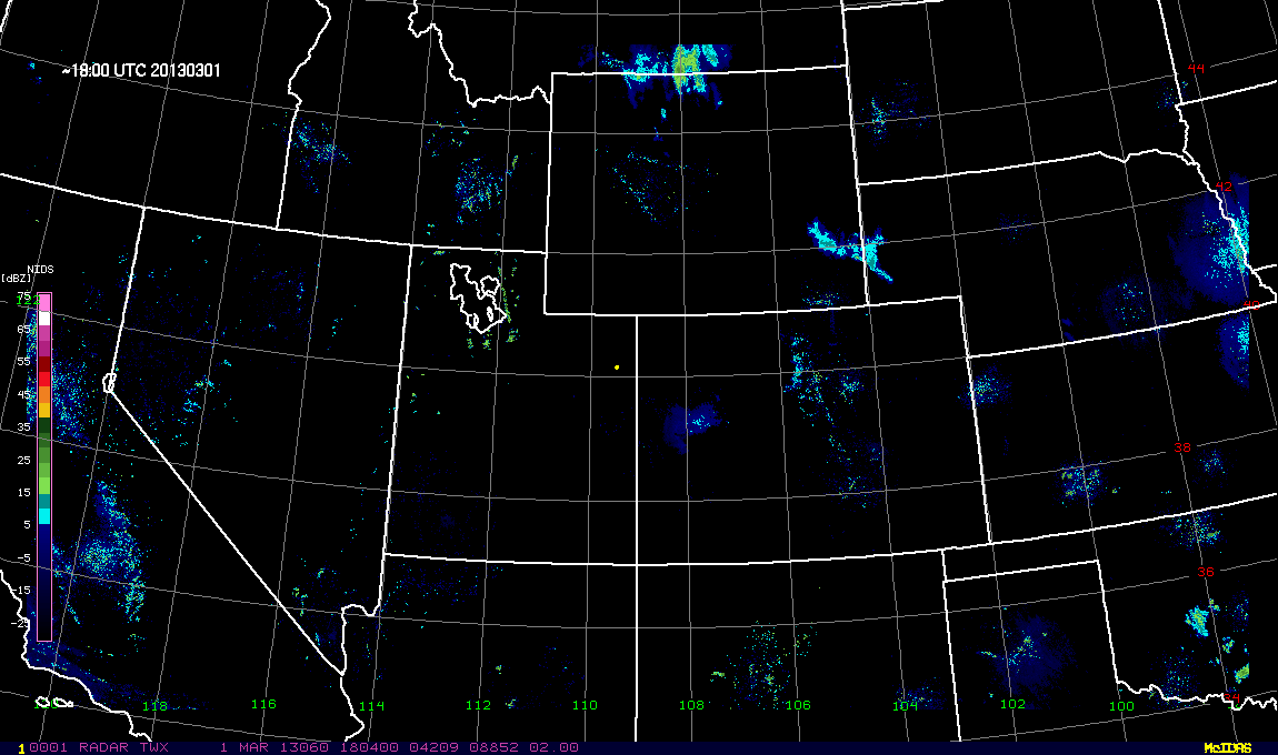
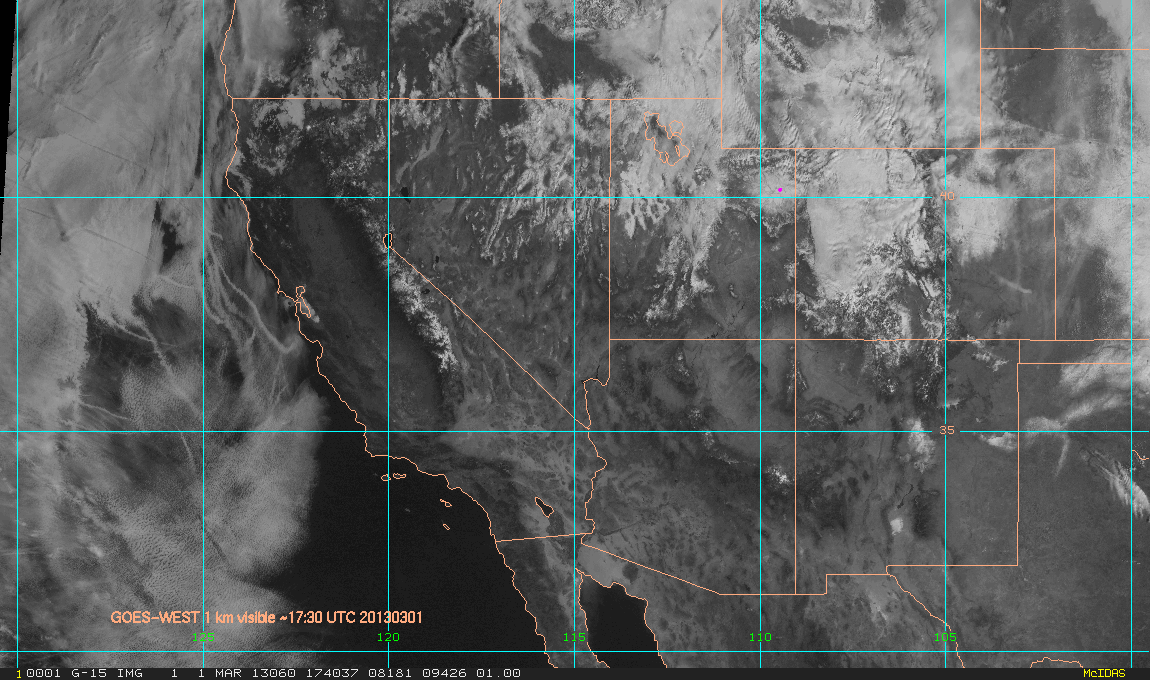
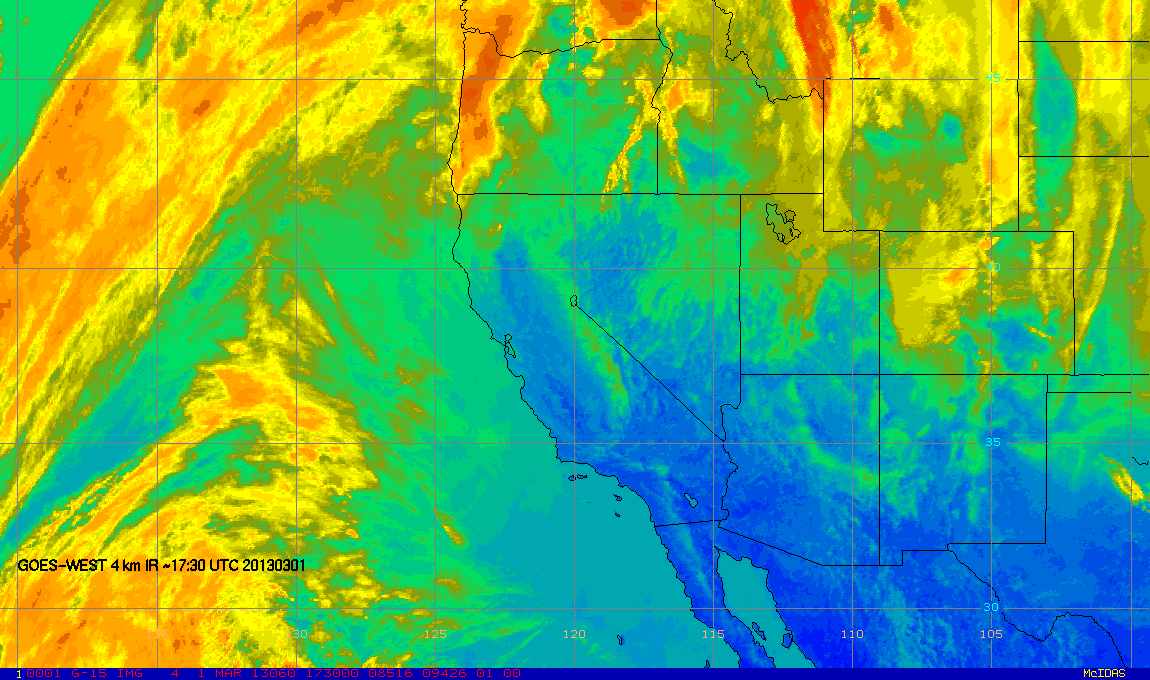
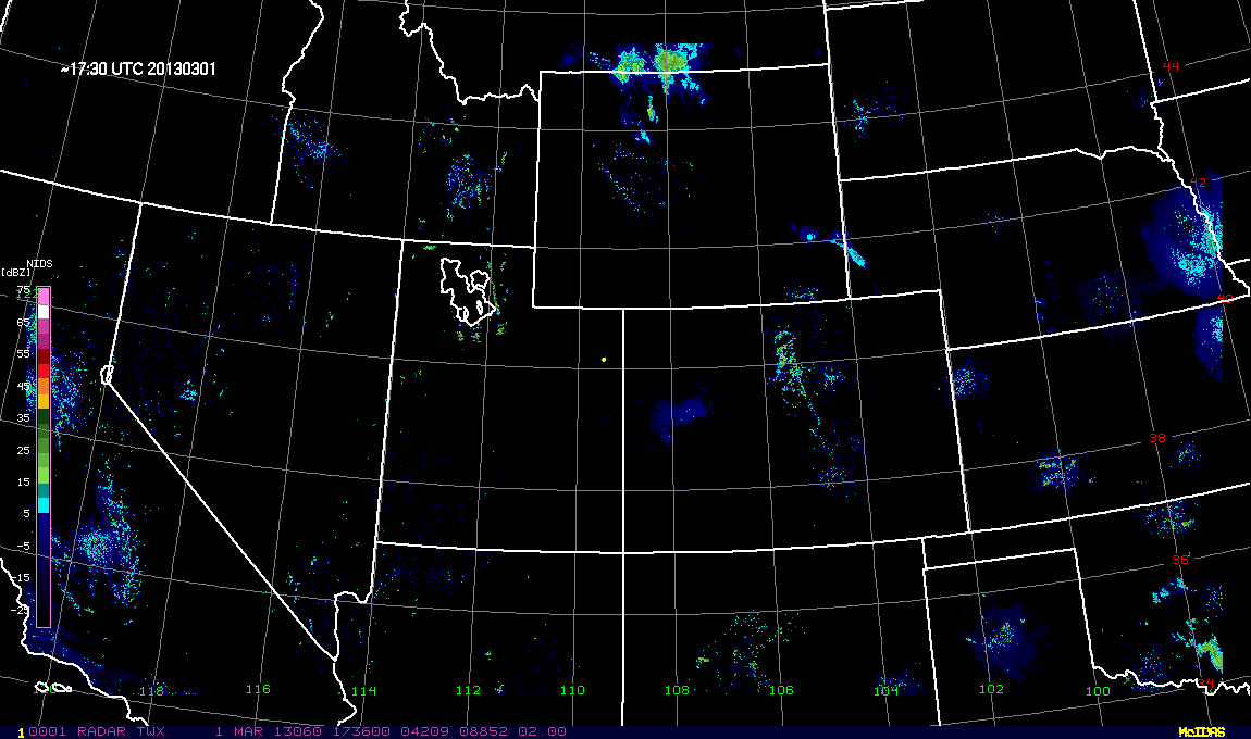
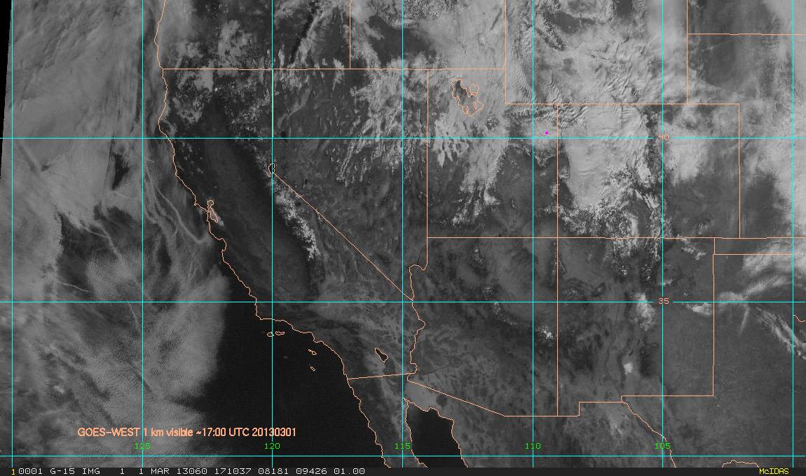
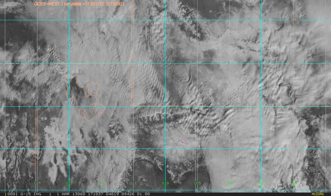
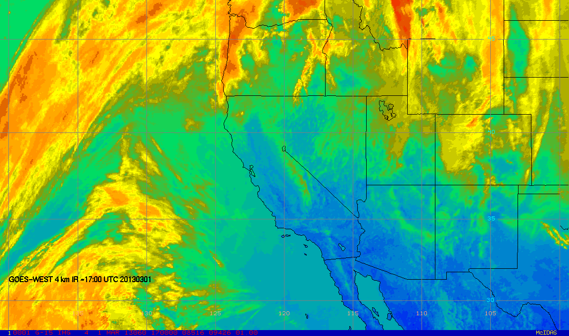
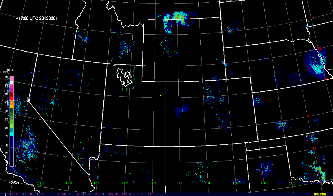
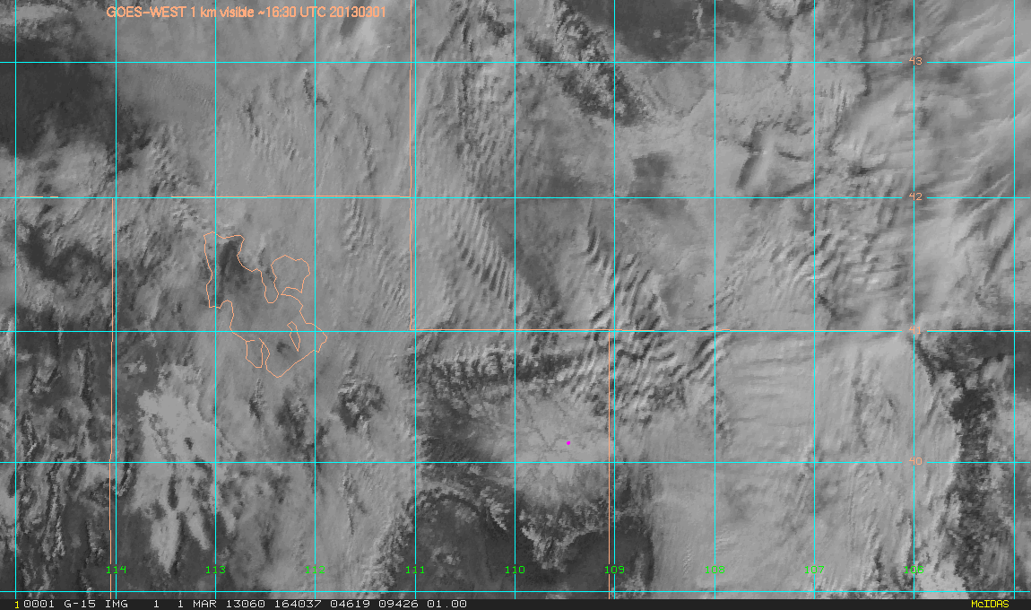
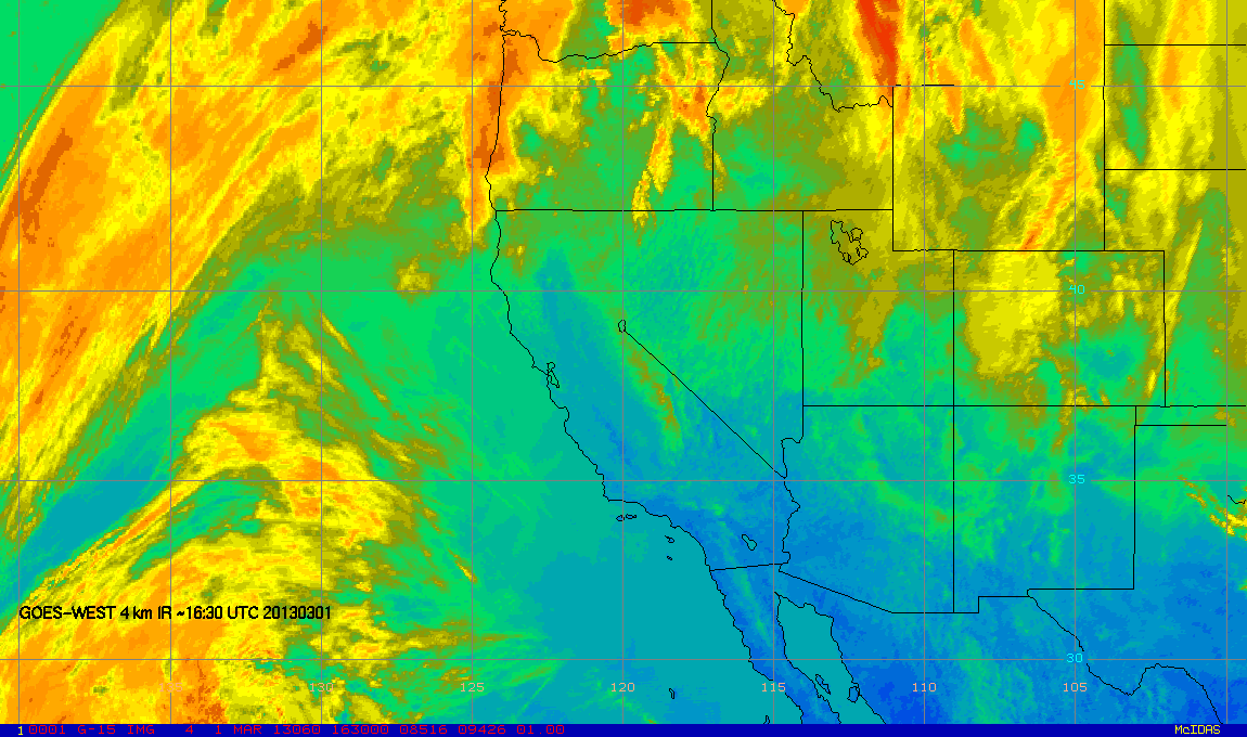
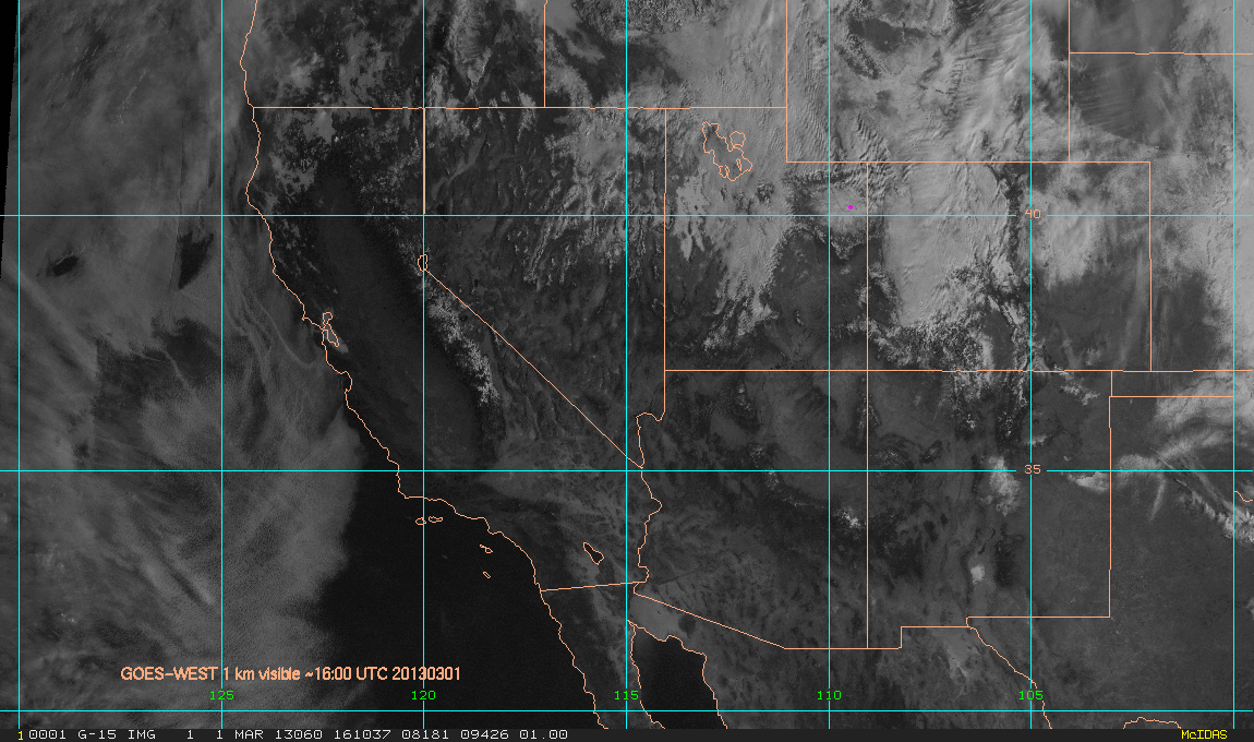
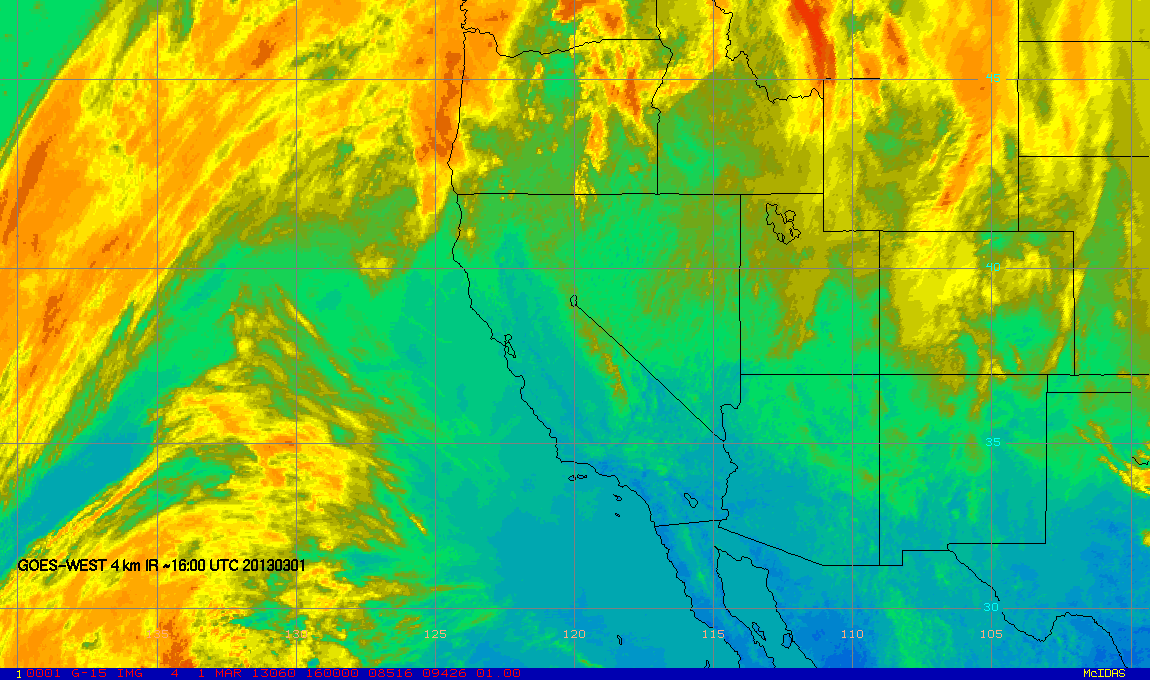
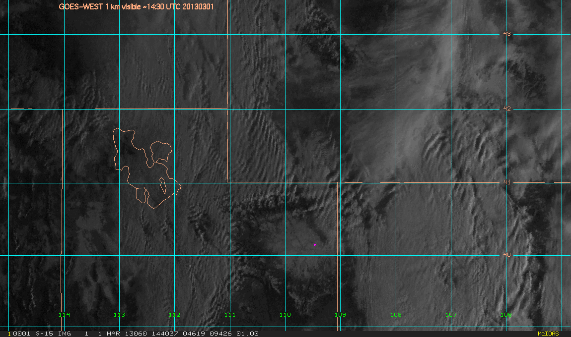
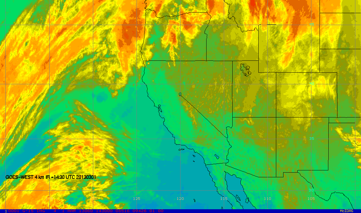
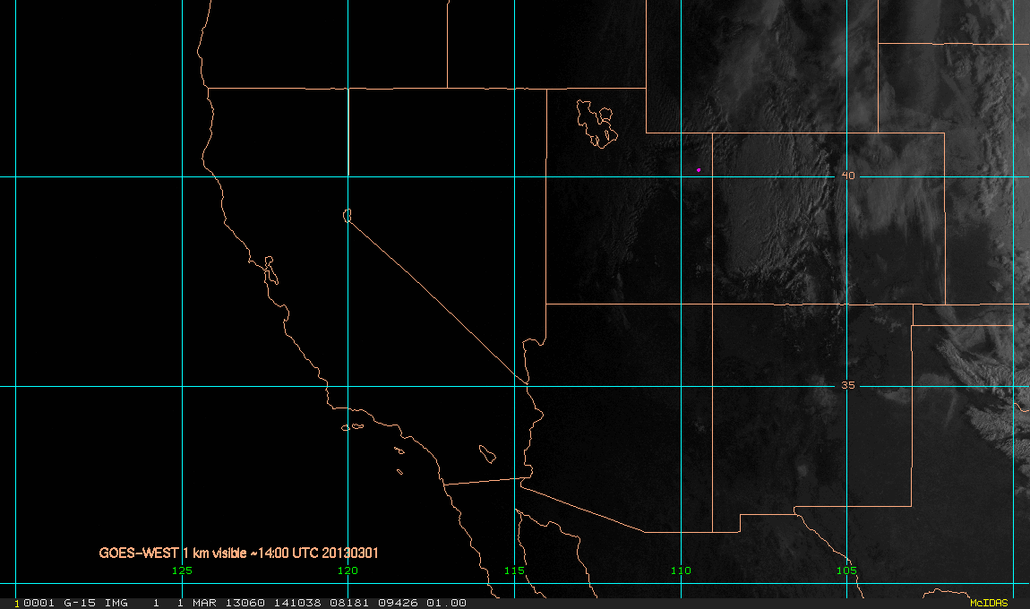
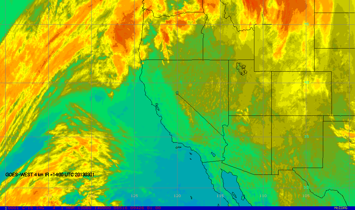
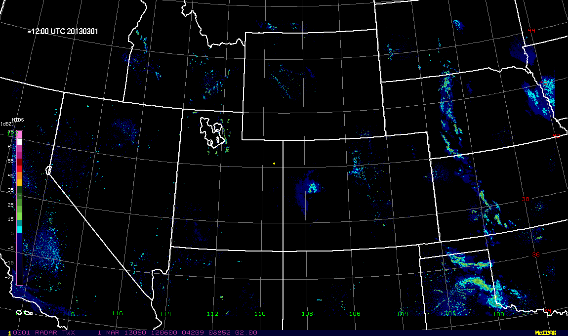
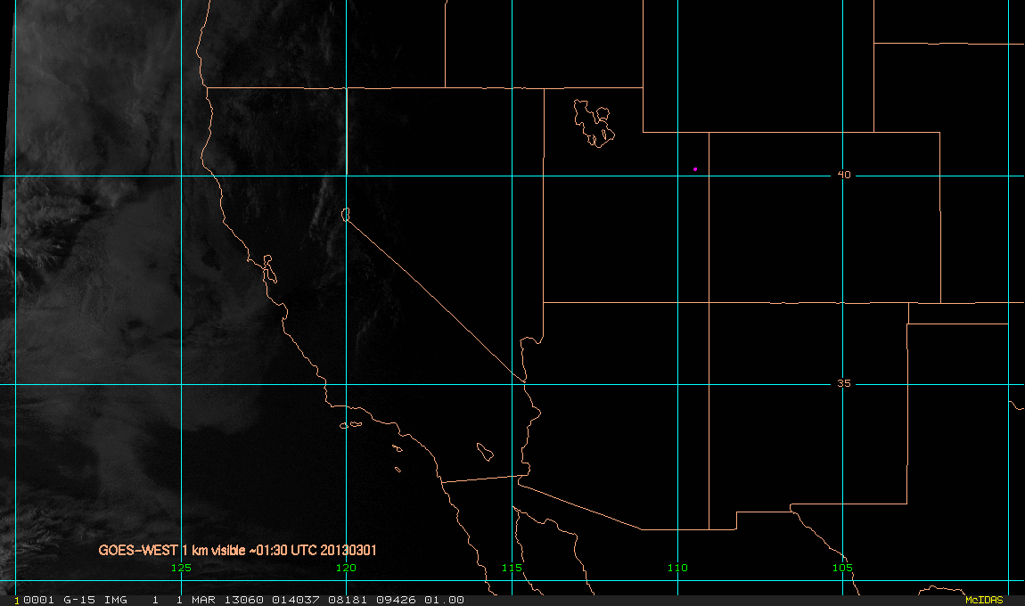
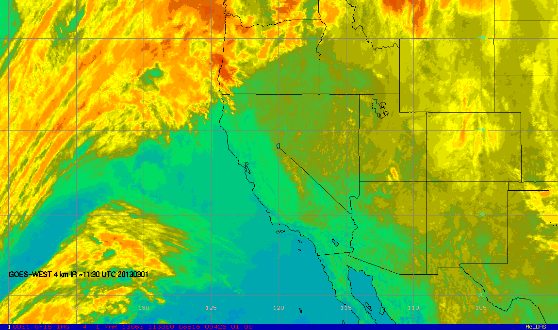
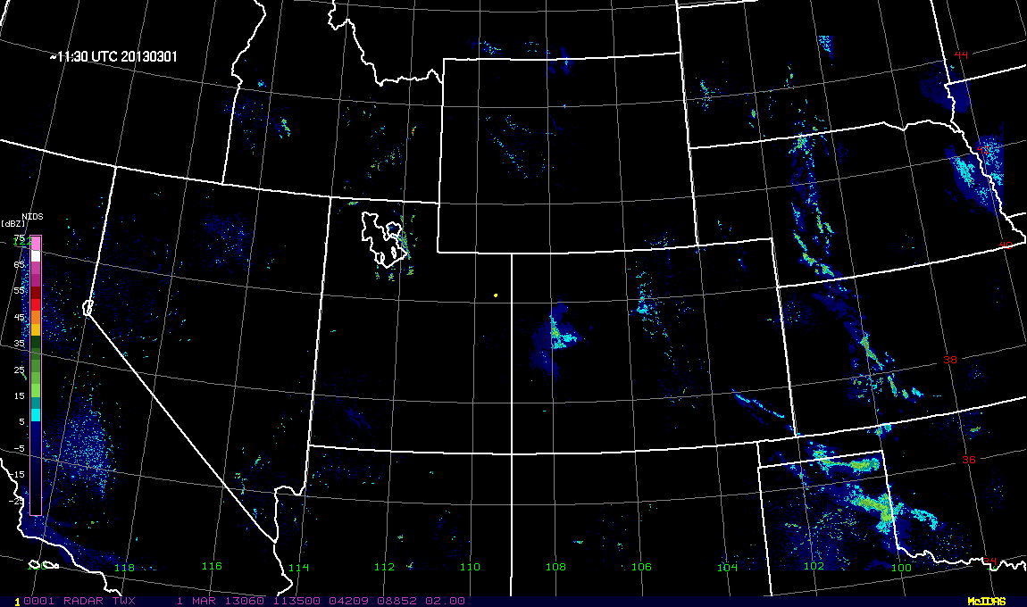
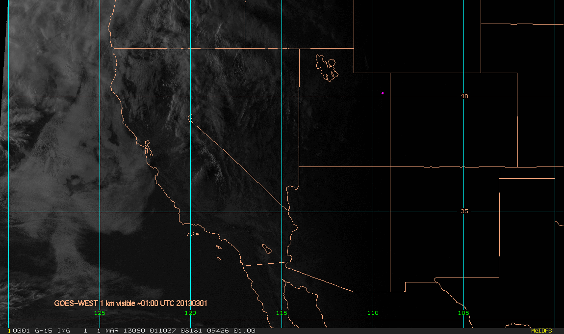
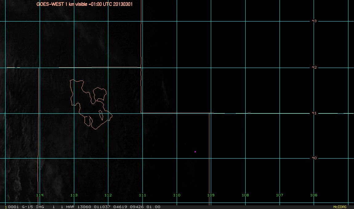
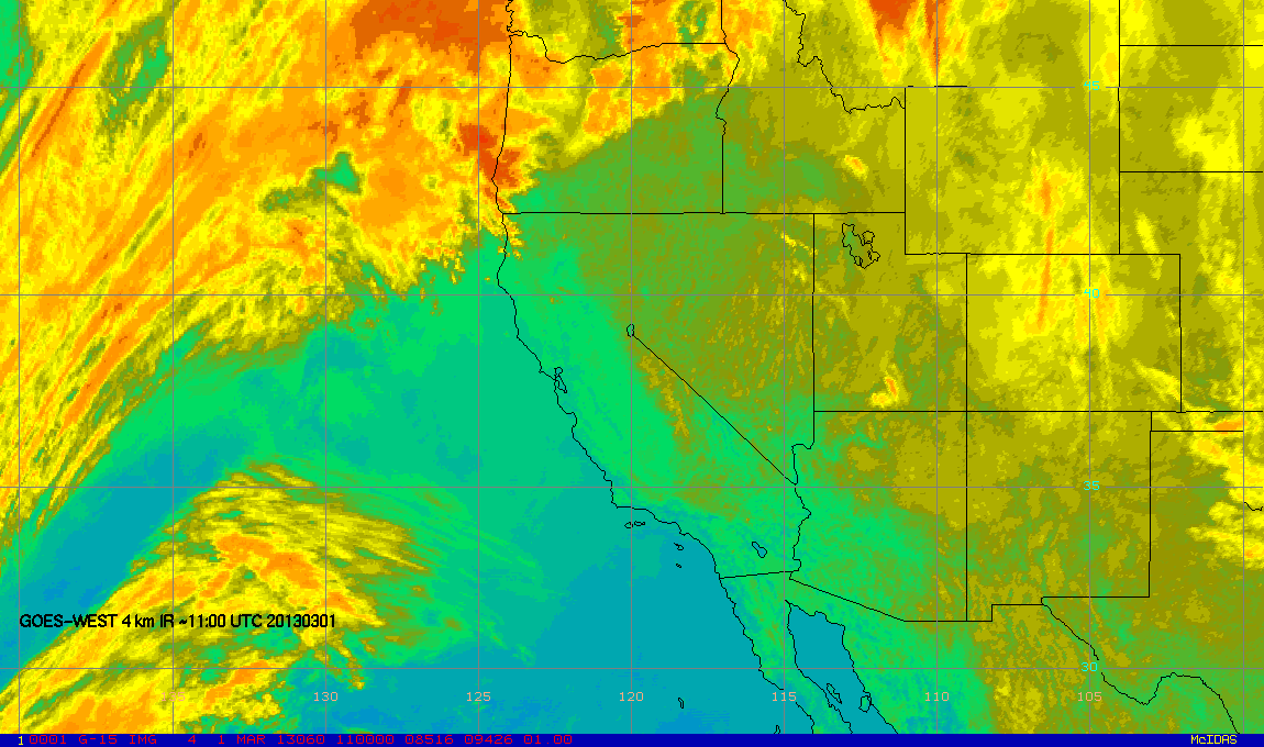
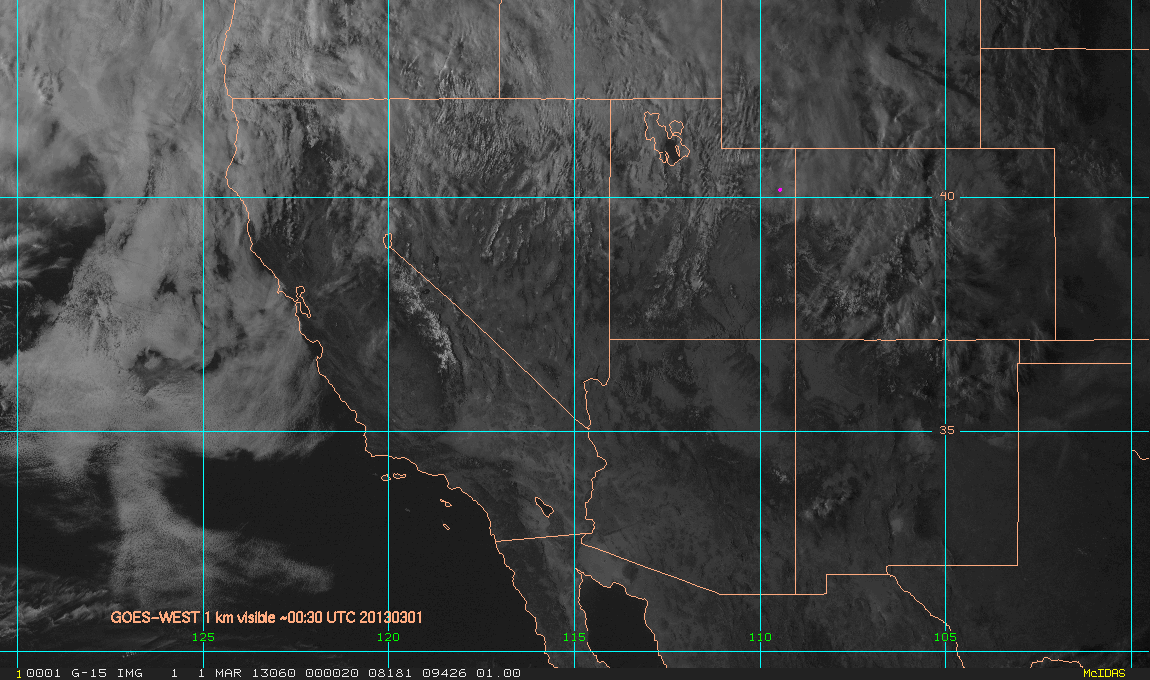
View GOES-WEST and radar images from the Uintah Basin study region. Theses images were updated every 30 minutes during both of these campaigns in 2012 an 2103.
| Hours back in time | GW_1_km_vis, Western USA | GW_1_km_vis, Utah | GW_4_km_IR, western North America | Radar Utah-Colorado |
|---|---|---|---|---|
| 12-hour image loop | Loop | Loop | Loop | Loop |
| 24-hour image loop | Loop | Loop | ||
| Archive | Archive | Archive | Archive | Archive |
| 0.0 | X | X | X | X |
| 0.5 | X | X | X | X |
| 1.0 | X | X | X | X |
| 1.5 | X | X | X | X |
| 2.0 | X | X | X | X |
| 2.5 | X | X | X | X |
| 3.0 | X | X | X | X |
| 3.5 | X | X | X | X |
| 4.0 | X | X | X | X |
| 4.5 | X | X | X | X |
| 5.0 | X | X | X | X |
| 5.5 | X | X | X | X |
| 6.0 | X | X | X | X |
| 6.5 | X | X | X | X |
| 7.0 | X | X | X | X |
| 7.5 | X | X | X | X |
| 8.0 | X | X | X | X |
| 8.5 | X | X | X | X |
| 9.0 | X | X | X | X |
| 9.5 | X | X | X | X |
| 10.0 | X | X | X | X |
| 10.5 | X | X | X | X |
| 11.0 | X | X | X | X |
| 11.5 | X | X | X | X |
| 12.0 | X | X | X | X |