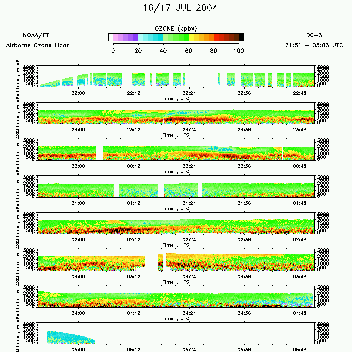
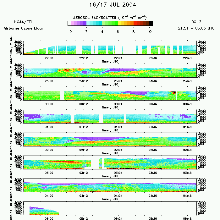
NEAQS-ITCT 2004 ABDIAL Lidar data
July 16 - Final Data
flight 1
flight 2
Click on an image to see the large version
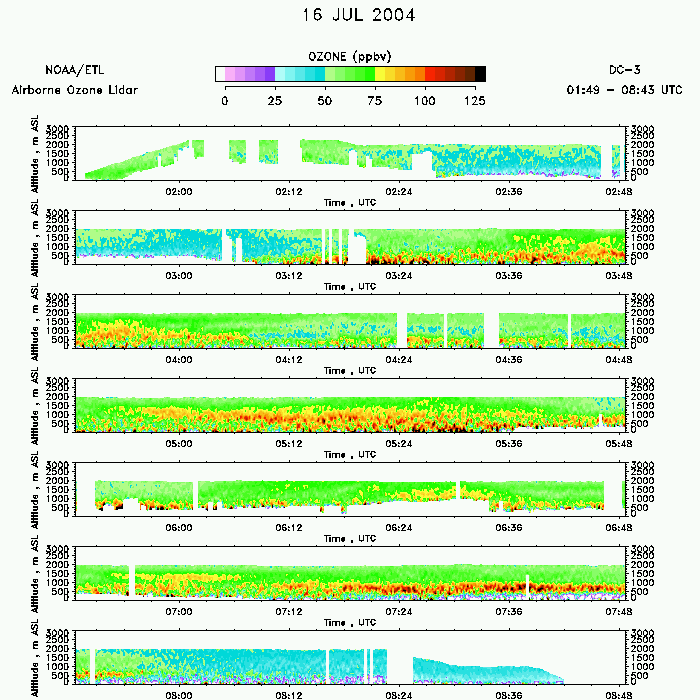
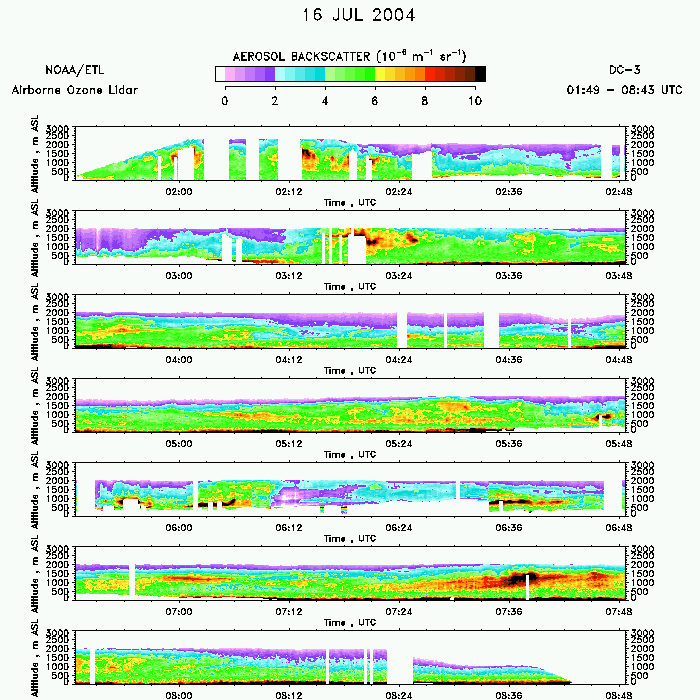
Flight 1
| Ozone Profile | Aerosol Profile |
|---|---|
 download ICARTT format data (ict file) |
 download ICARTT format data (ict file) |
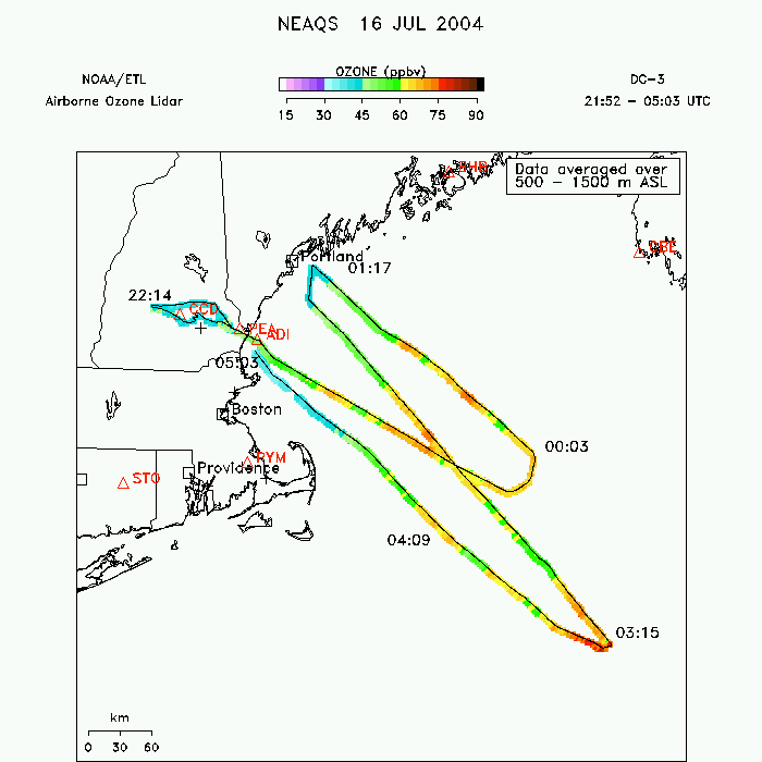
| Ozone Map | |
 |
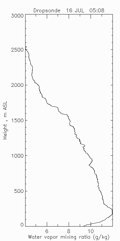
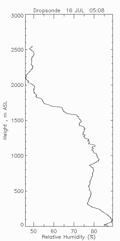
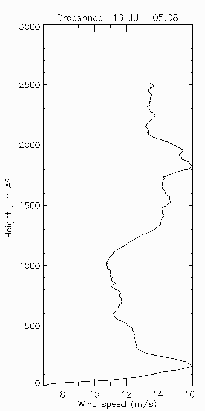
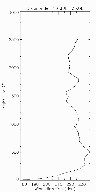
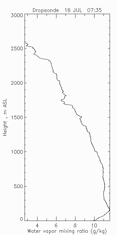
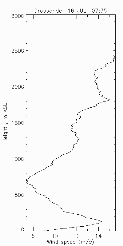
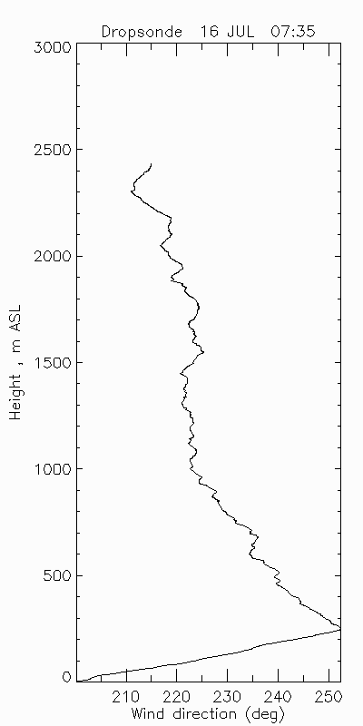
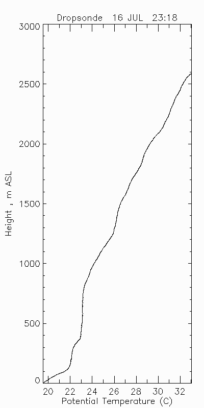
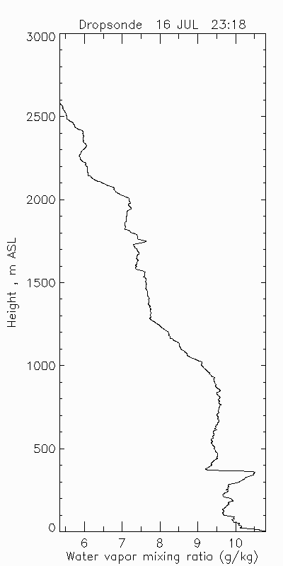
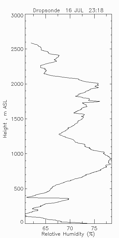
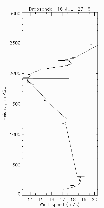
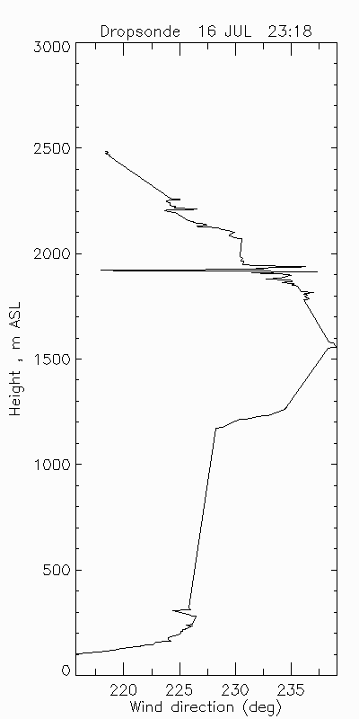
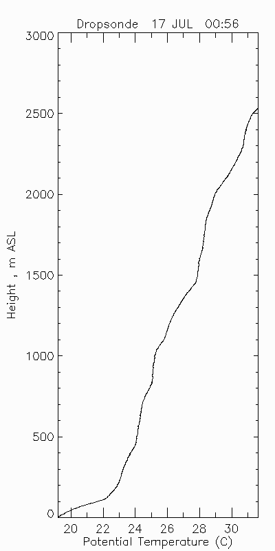
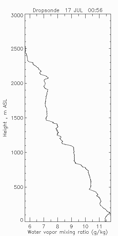
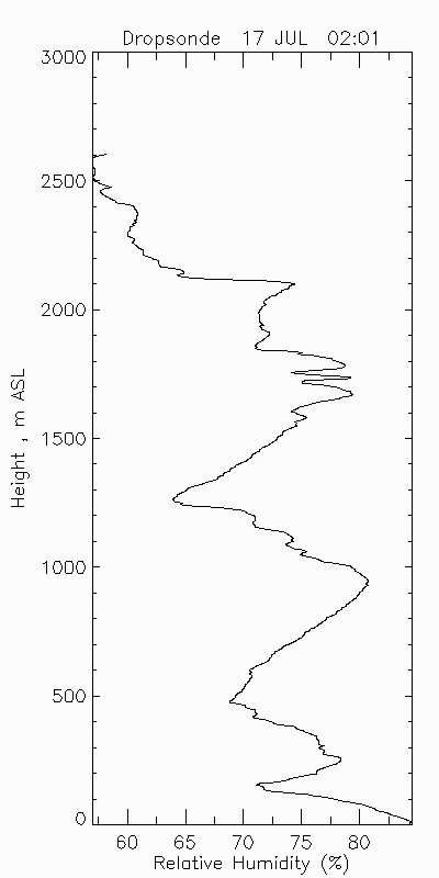
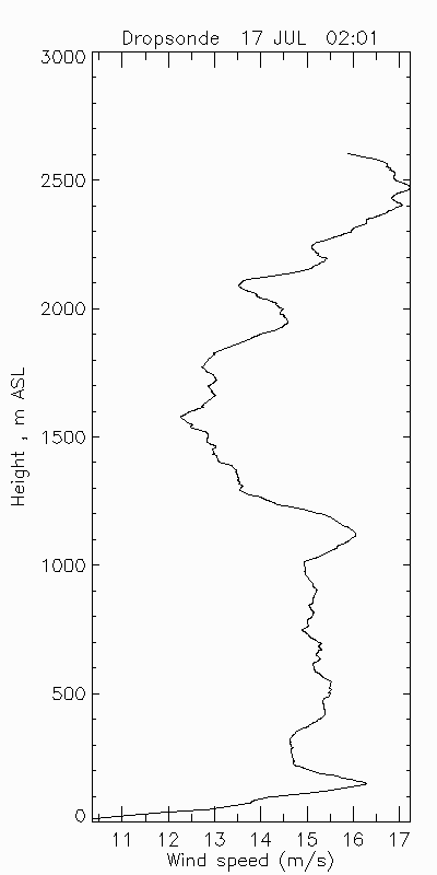
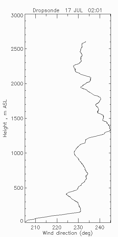
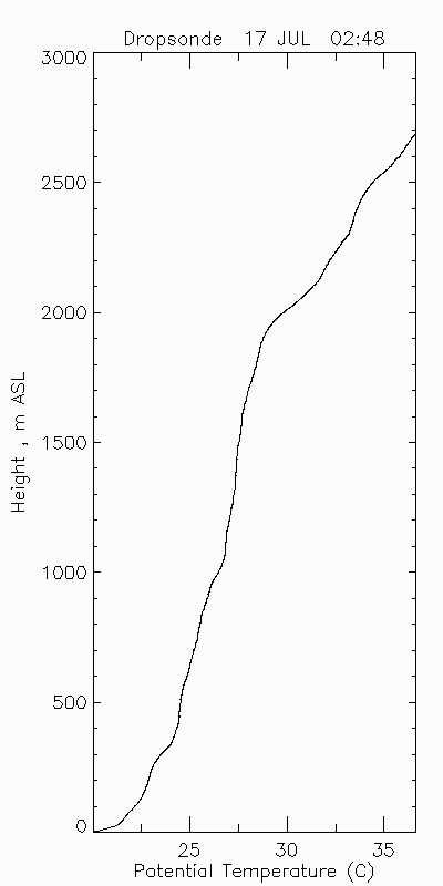
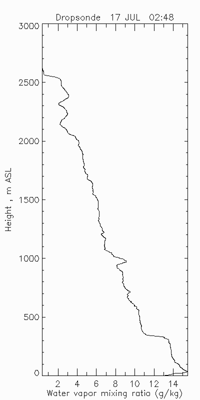
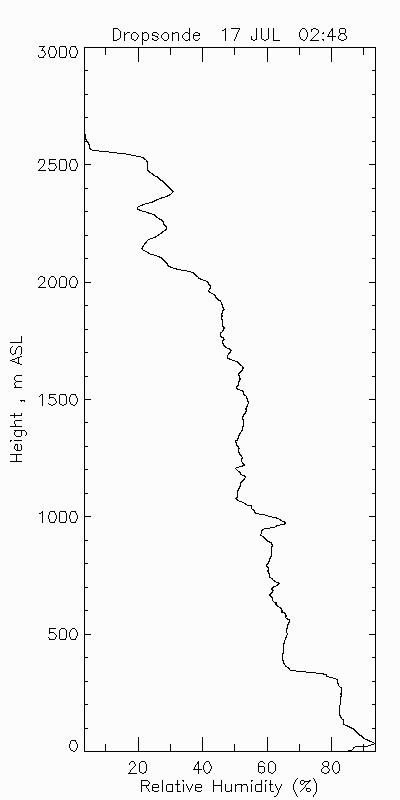
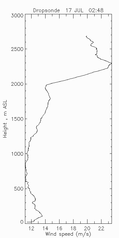
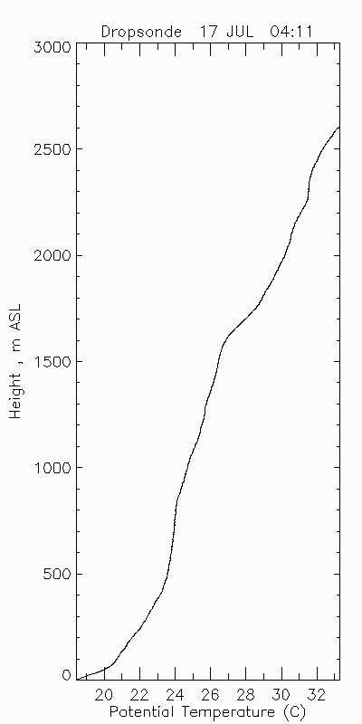
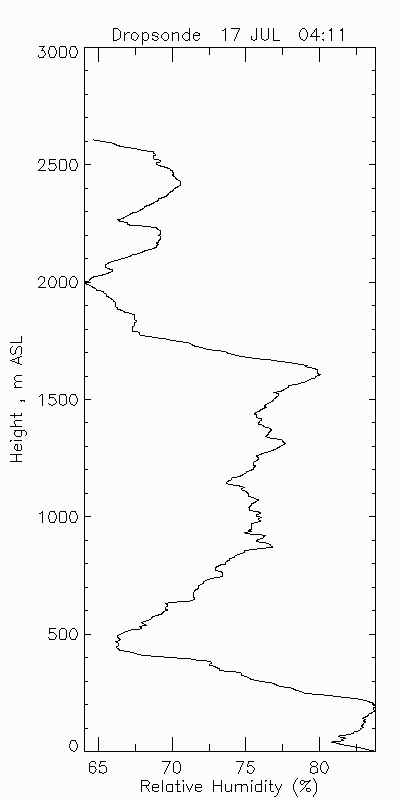
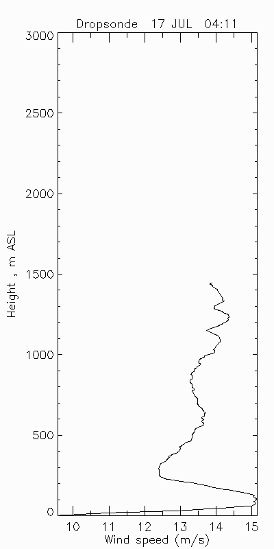
| Dropsonde 1 | ||||
|---|---|---|---|---|
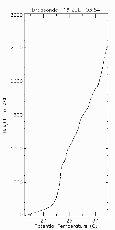 |
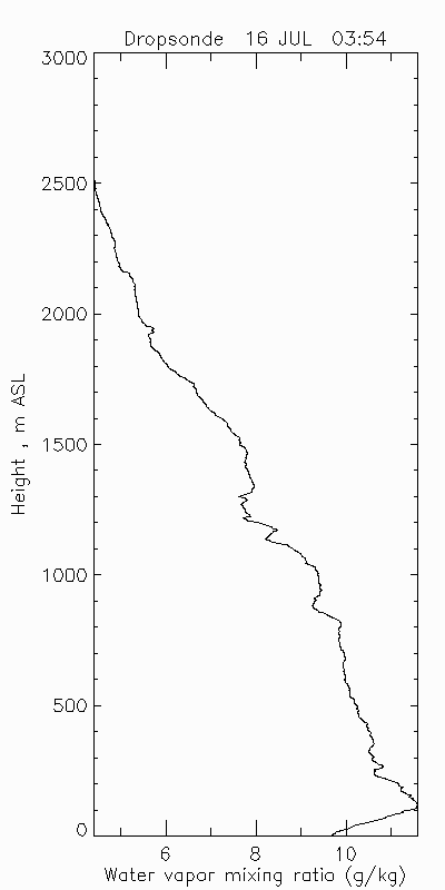 |
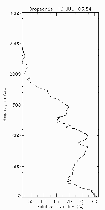 |
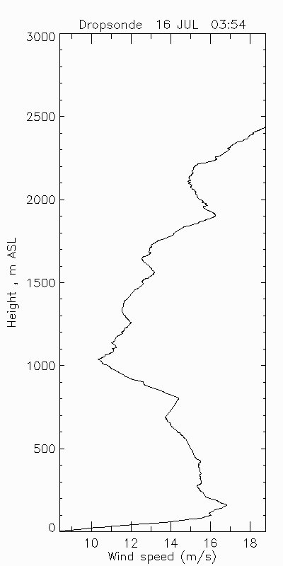 |
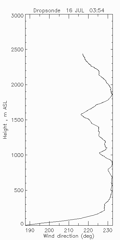 |
| download ICARTT format data (ict file) | ||||
| Dropsonde 2 | ||||
 |
 |
 |
 |
 |
| download ICARTT format data (ict file) | ||||
| Dropsonde 3 | ||||
 |
 |
 |
 |
 |
| download ICARTT format data (ict file) | ||||
Flight 2
| Ozone Profile | Aerosol Profile |
|---|---|
 download ICARTT format data (ict file) |
 download ICARTT format data (ict file) |
| Ozone Map | |
 |
| Dropsonde 1 | ||||
|---|---|---|---|---|
 |
 |
 |
 |
 |
| download ICARTT format data (ict file) | ||||
| Dropsonde 2 | ||||
 |
 |
 |
 |
 |
| download ICARTT format data (ict file) | ||||
| Dropsonde 3 | ||||
 |
 |
 |
 |
 |
| download ICARTT format data (ict file) | ||||
| Dropsonde 4 | ||||
 |
 |
 |
 |
 |
| download ICARTT format data (ict file) | ||||
| Dropsonde 5 | ||||
 |
 |
 |
 |
 |
| download ICARTT format data (ict file) | ||||